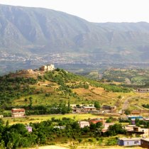
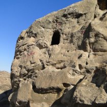
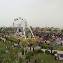
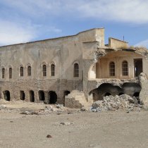
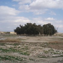
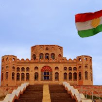
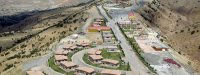
Kalar is the administrative center of the Garmyan district. It lies 140 km Southeast of Sleimani and 30 km from the Iranian border. Kalar has a population of around 250,000 residents. Kalar takes pride in its historical background. Several small towns are connected to Kalar administratively. Kalar is located on a large plain area embracing many historical sites related to different periods; including sites that were built in the BC, AD, and Islamic periods. Shirwana citadel, Pasha Citadel and Christian canal are examples of historical sites. The town is about 200 to 255m above sea level. In winter, temperatures may reach as low as 2˚C.