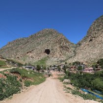
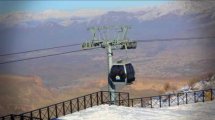
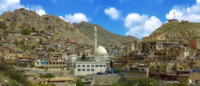
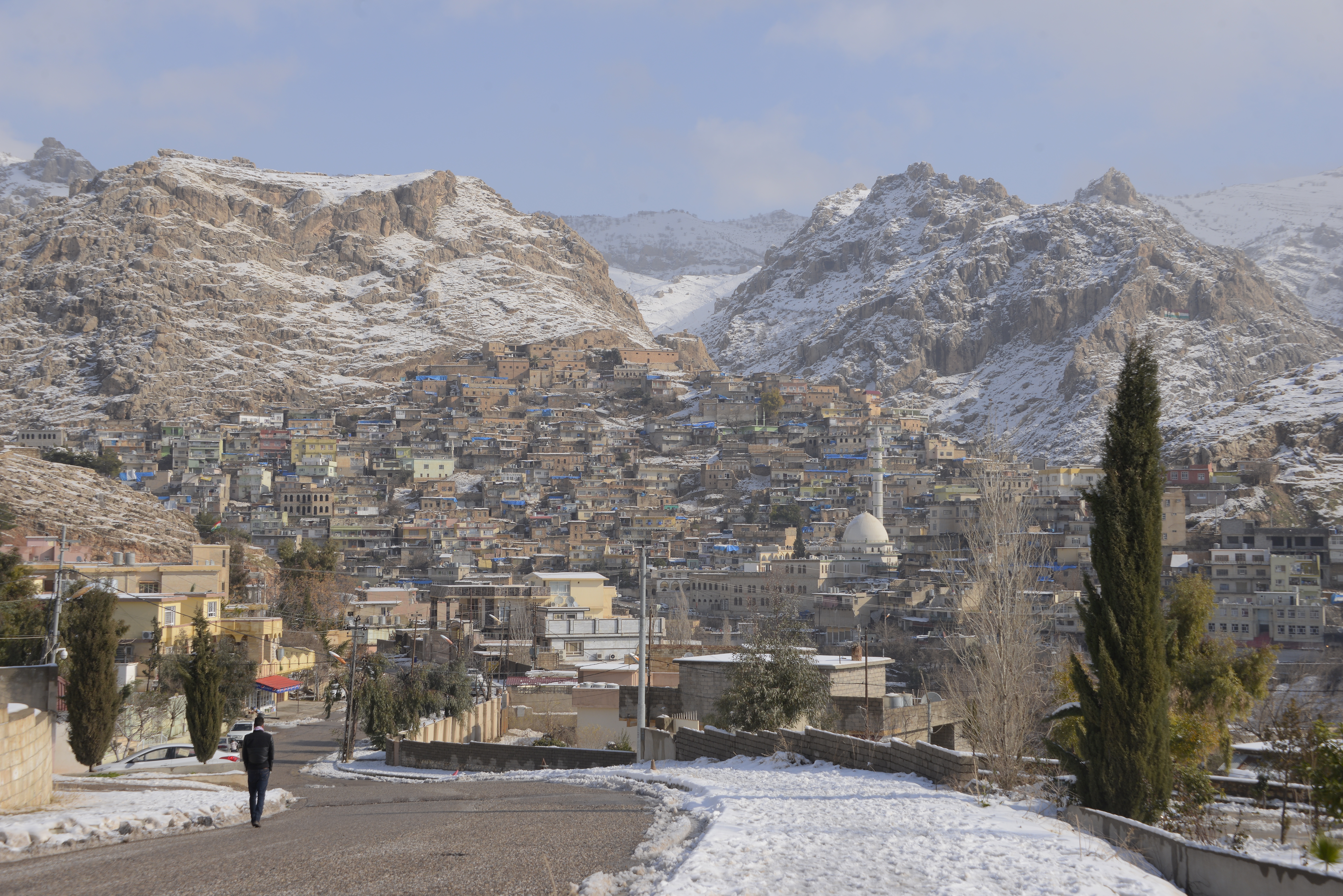
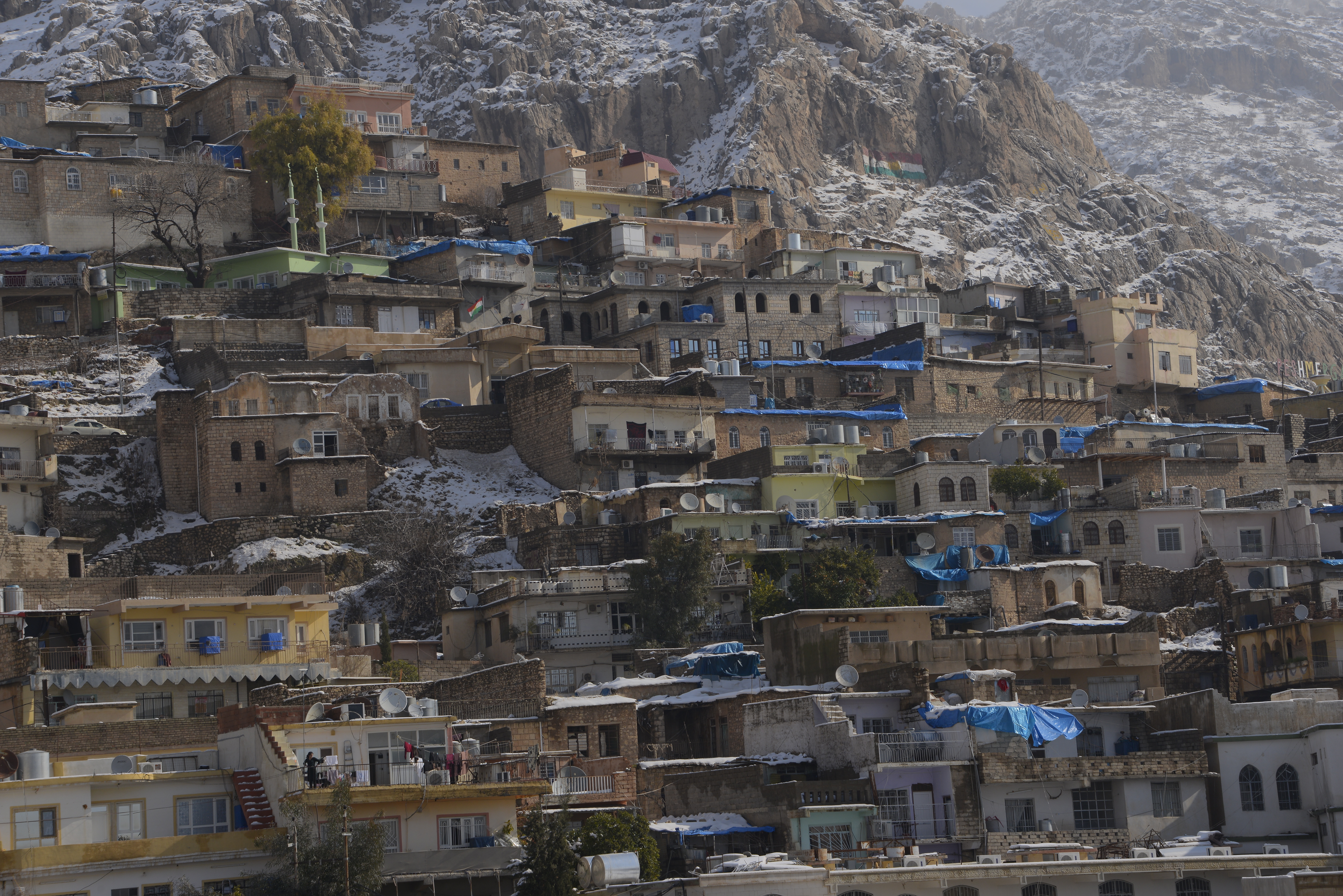
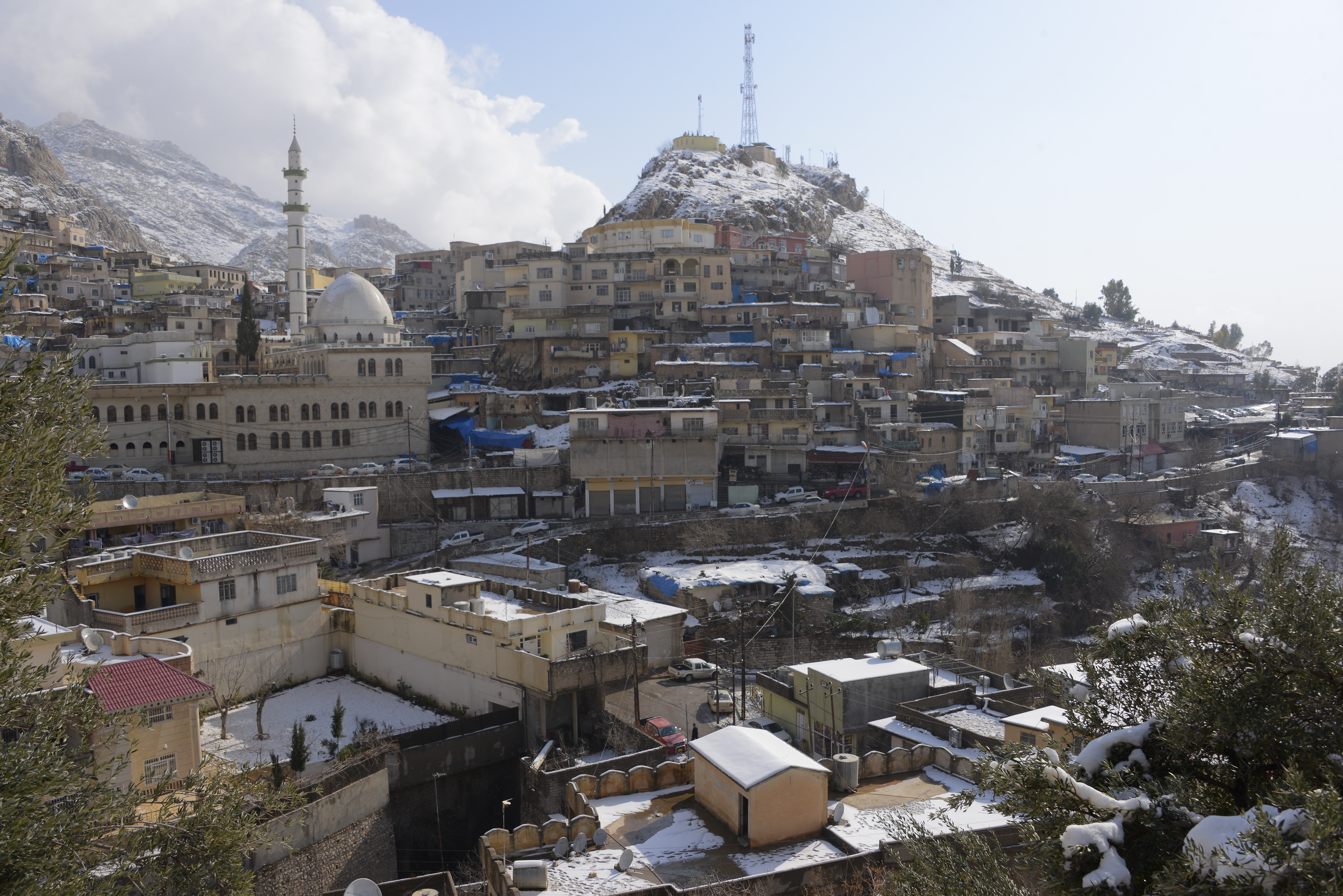
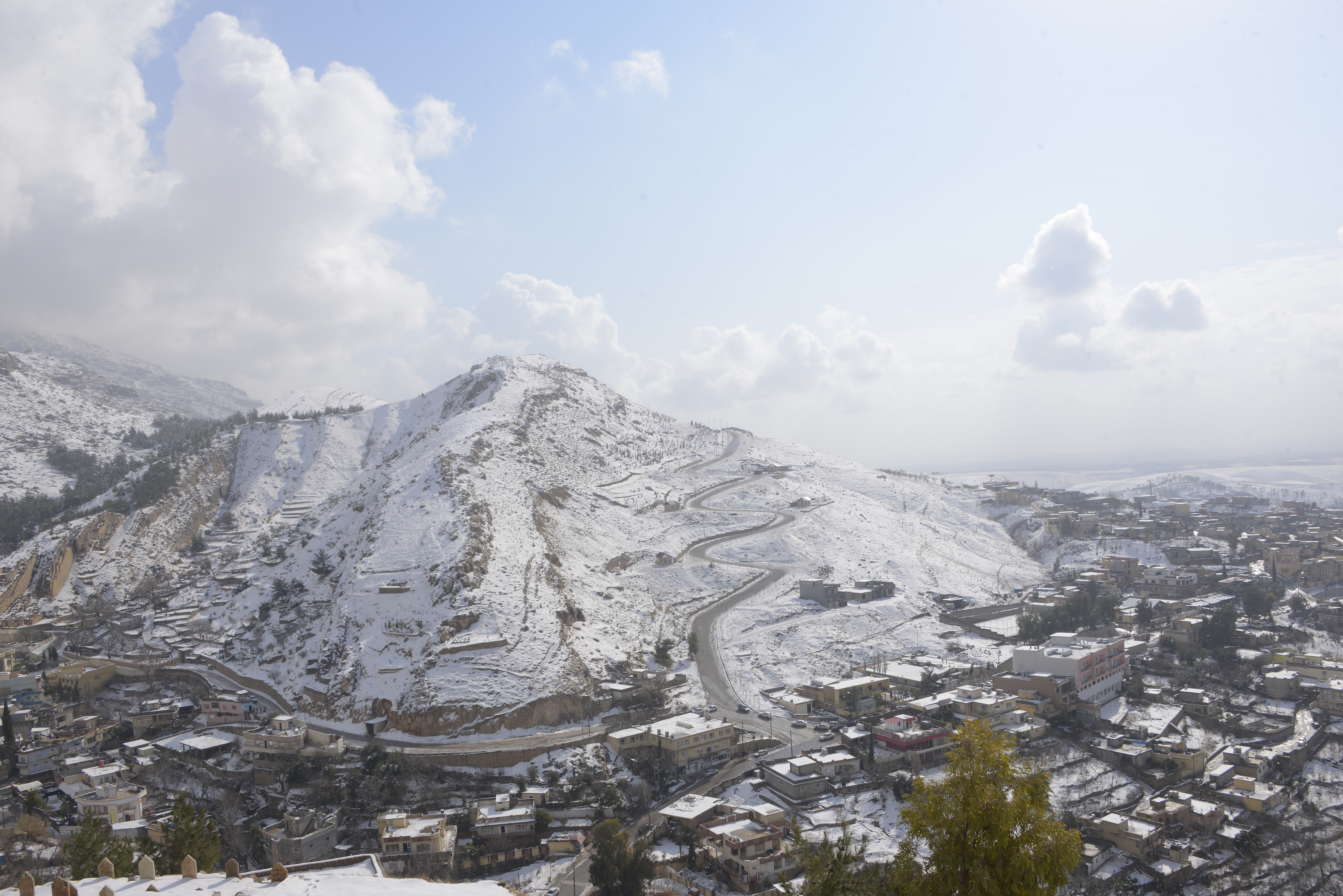
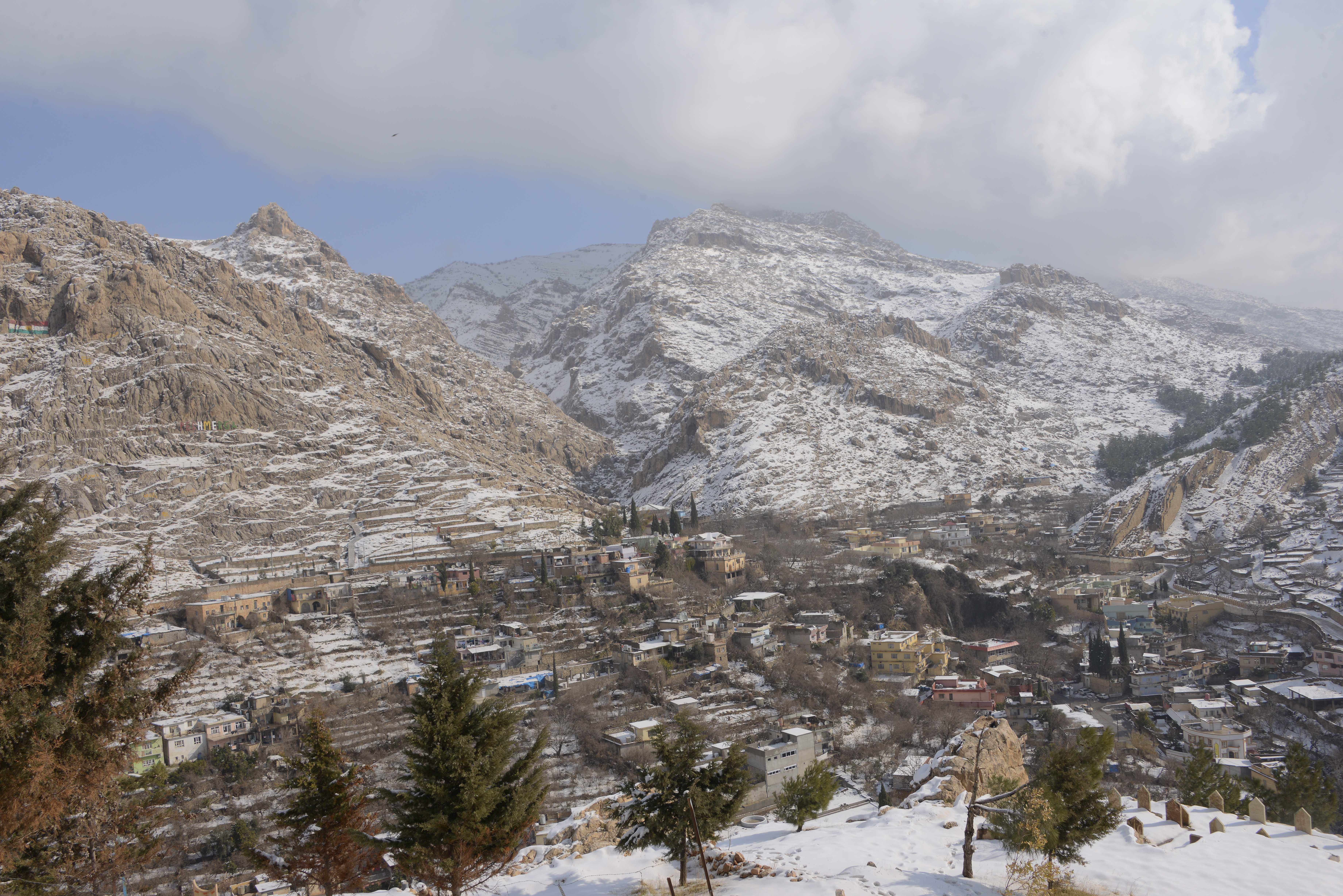
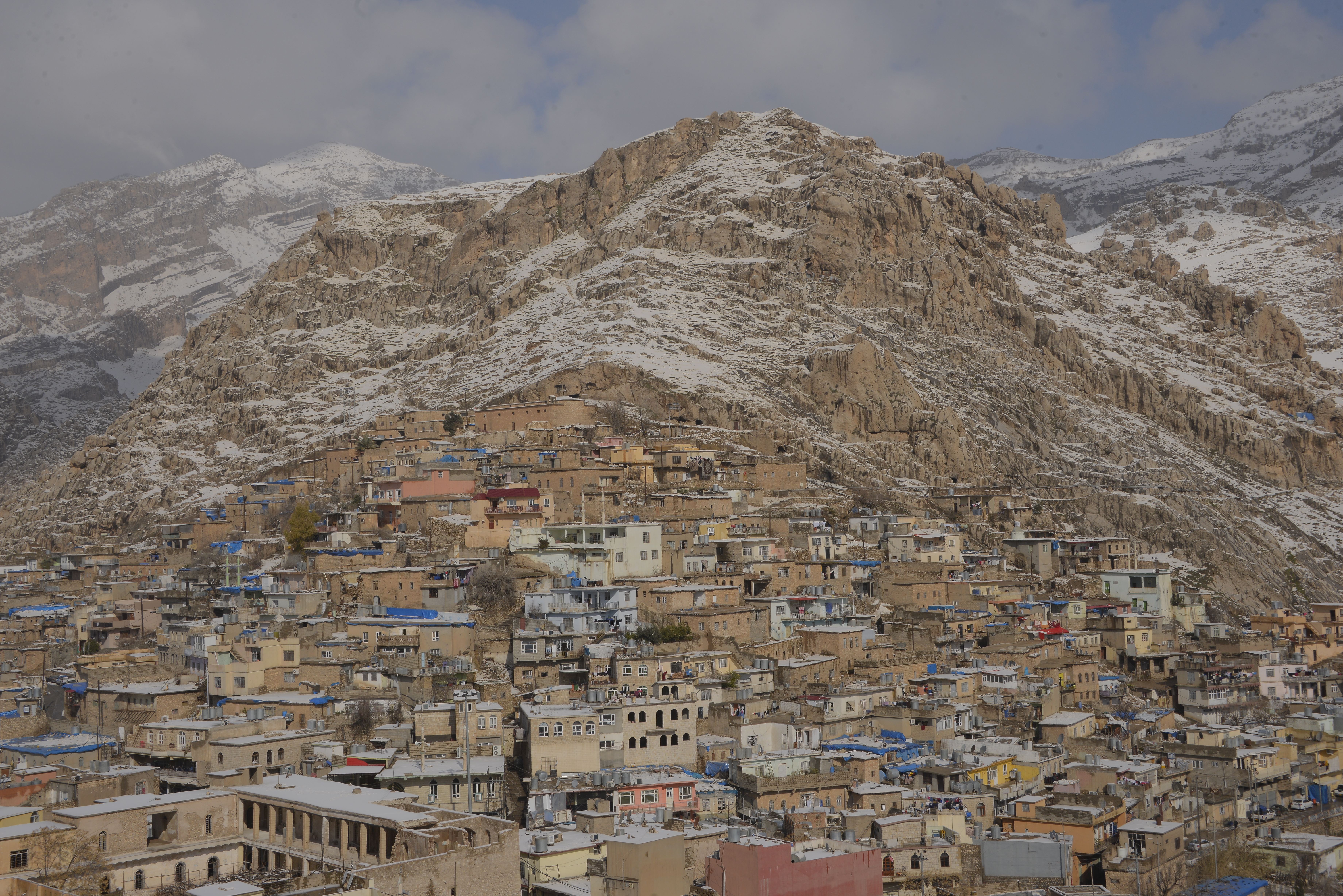
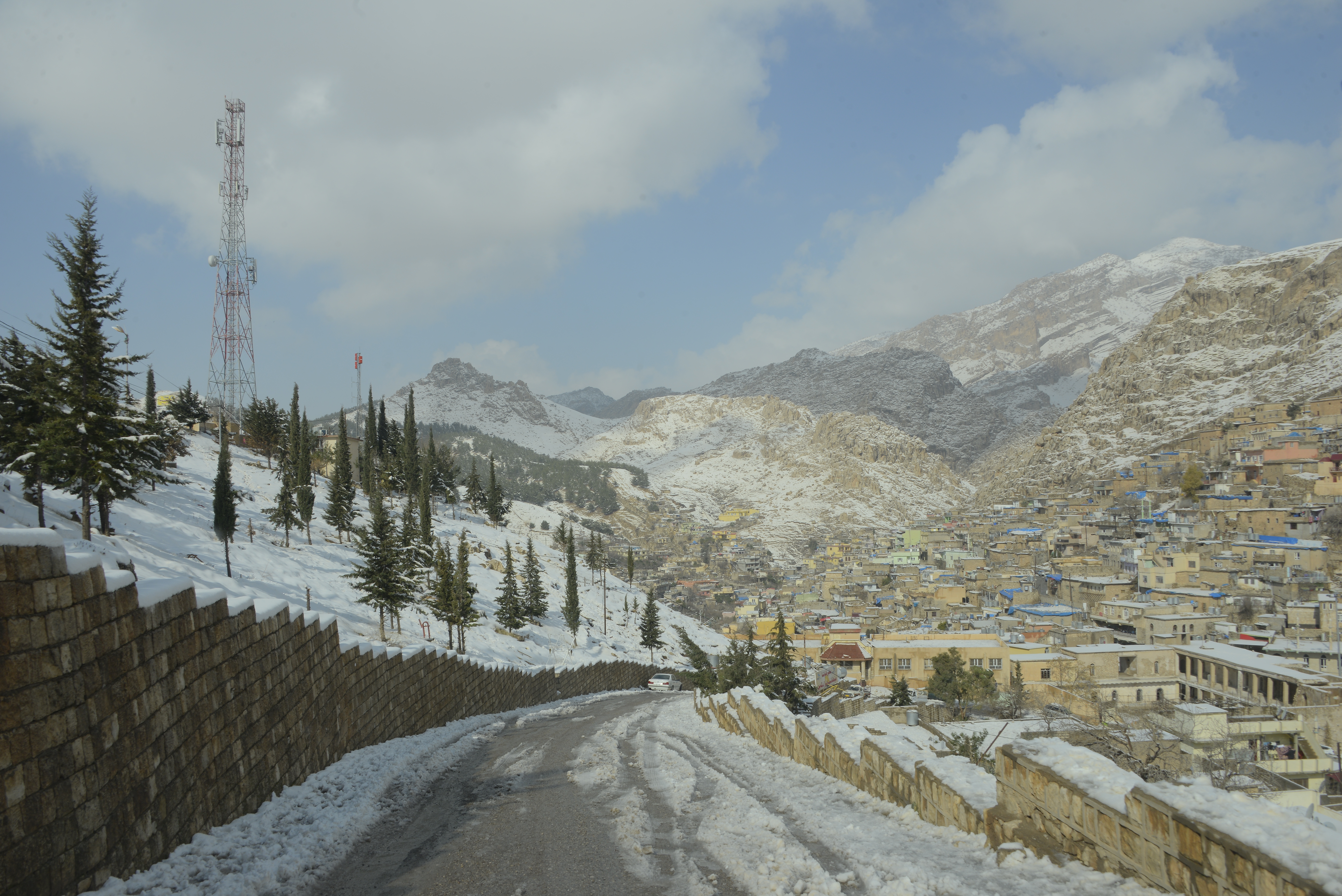
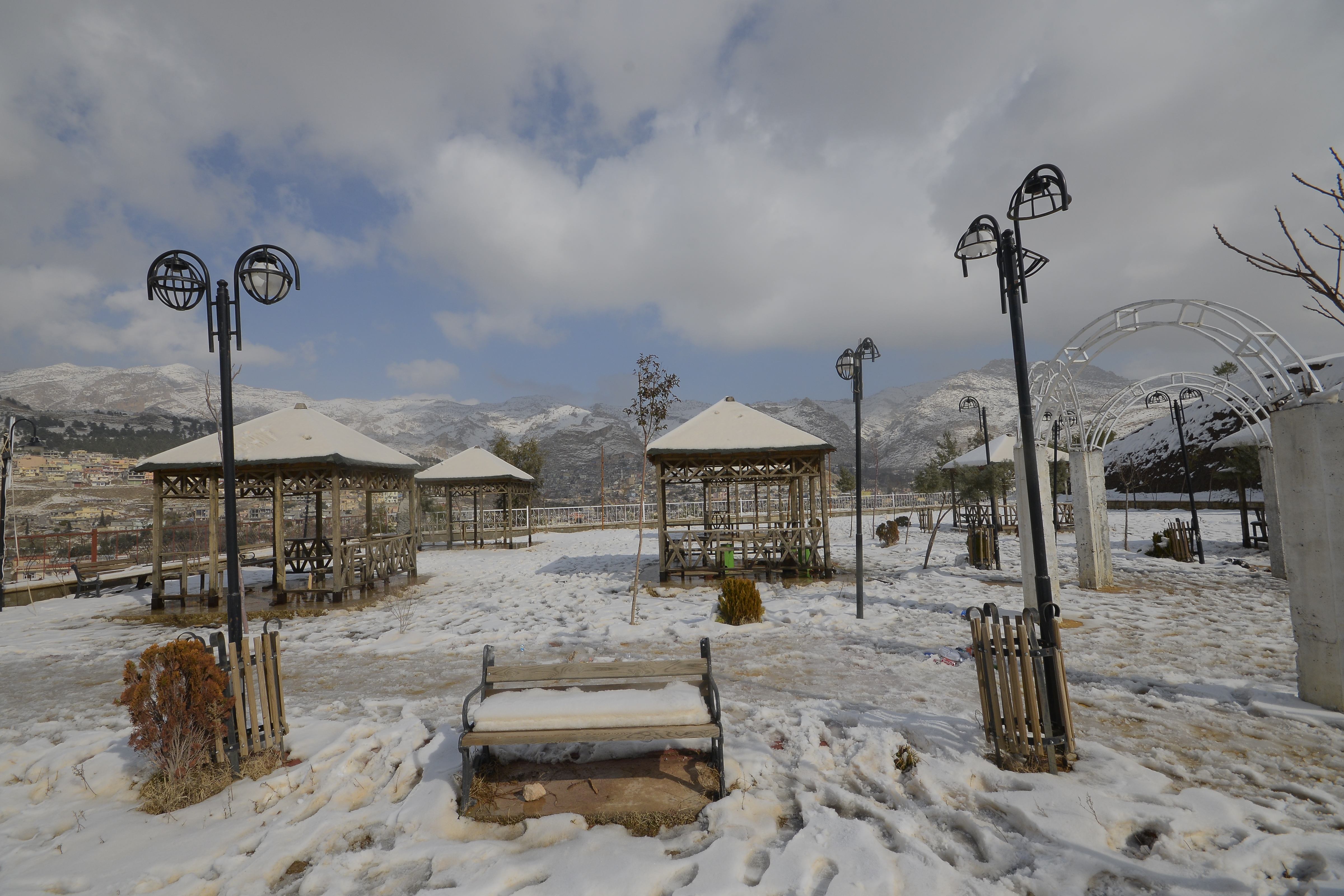
Akre
GPS Coordinates: 36.741553 43.892140
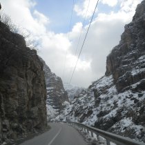
Akre is located 100 km East of Duhok, 25 km from the Ruvea intersection, on the way to Erbil and the Barzan Region. The town was built on the side of a mountain range by the Kurdish Prince Zand in 580 B.C. Akre is rich in historical sites, such as temples, statues, and ancient buildings, and mineral springs can be found near the town.
Akre Citadel
The Akre Citadel lies on top of the mountain the town is built on, about 450 m above the valley. It was built by Prince Zand 580 B.C. It consists of several generous built levels; the upper level is known as the Prince’s Residence, the middle was used as food storage, and the basement has a round meeting hall and a flat rock in the middle. The citadel has four pillars, a water cistern and an eagle-like room which is called The Jail.
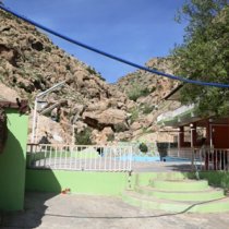
Akre Mineral Springs
Thousands of people visit the springs for their therapeutic properties. Each mineral spring is thought to treat a different disease: Mimi spring treats skin diseases, while Ashkawti Sheikhman spring is said to help with rheumatism.
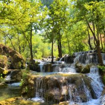
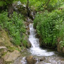
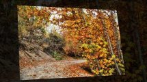
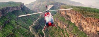
Sipa Waterfall
This waterfall is located only 1 km East of Akre. It’s 18 meters high with trees and water pools, which creates a cool and refreshing environment especially in the summertime. The highest summer temperature recorded was 32 Degree Celsius. Your family will enjoy the time at the waterfall.
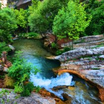
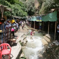
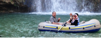
Sipa Bjail Waterfall
This resort lies 13 km East of Akre. The waterfall is located in the center of Bjail village, 500 meter away from the road to Qandil. This resort is located in a valley with different fruit trees. The waterfall is fed of several springs which flow from the high surrounding mountains. Facilities are built for tourists; an artificial cave behind the waterfall and different restaurants.
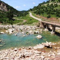
Zanta Valley
You can find this valley 13 km East of Akre, starting with the Bjail village. Through the deep and long valley flows the Brisho River, with the mountain Sari Sada on the East and mountain Sari Sidanok on the West. Through the valley there are many wells and springs with fresh and cold water.
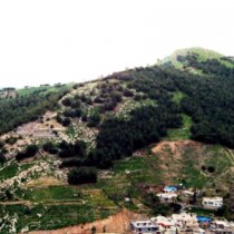
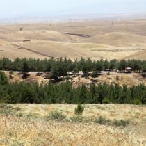
Girbish Village
Girbish is a village at the foot of Peris Mountain, located 23 km north of Akre, and 2 km west of Dinarta village. At the tourist site above the village, six wells flow under a grove of walnut trees, creating a beautiful shaded area that is a pleasure to visit.
Sile Waterfall
This beautiful site is on the foot of Peris Mountain, 8 km East of Dinarta and 32 Km from Akre. From a mountain gorge water flows over a 50 meter high waterfall and into willow trees. There is another water resource that flows from the same mountain. Picnic areas are set up for tourists to enjoy the scenery.
The Shrine of Sheikh Abdul Aziz Al-Gailani
This shrine is located west of the town of Akre, at the top of a valley, filled with trees, vines and orchards. Tens of thousands of visitors from India, Pakistan, Iran, Afghanistan and Turkey, visit the shrine of Sheikh Abdul Aziz, the son of Sheikh Abdul Qadir Al-Gailani of the Qadiriya order. In 1187, Sheikh Abdul Aziz participated in the liberation of Jerusalem, led by Saladin.