Kalar
GPS Coordinates: 34.634933, 45.300665
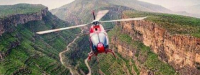
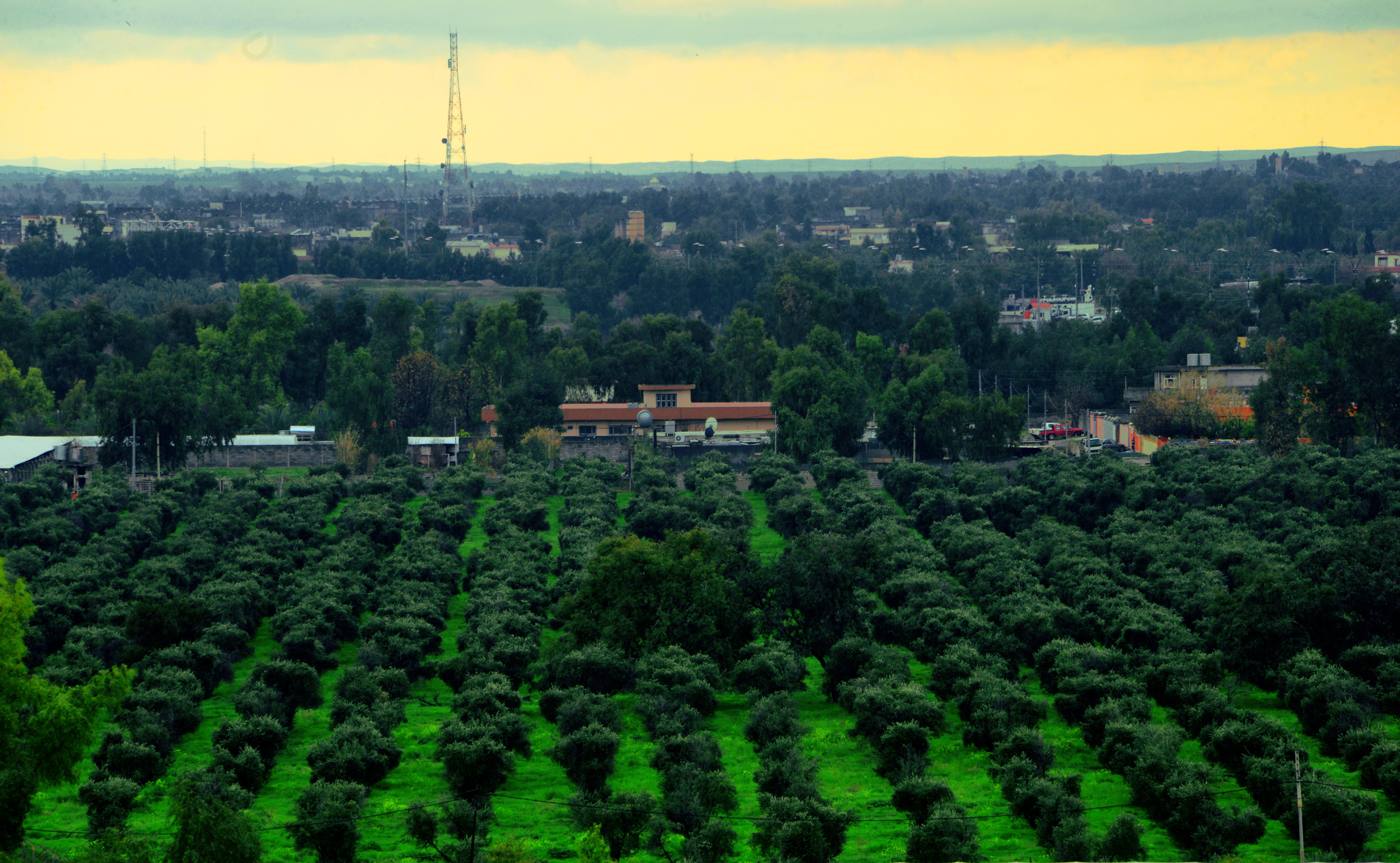
Kalar is the administrative center of the Garmyan district. It lies 140 km Southeast of Sleimani and 30 km from the Iranian border. Kalar has a population of around 250,000 residents. Kalar takes pride in its historical background. Several small towns are connected to Kalar administratively. Kalar is located on a large plain area embracing many historical sites related to different periods; including sites that were built in the BC, AD, and Islamic periods. Shirwana citadel, Pasha Citadel and Christian canal are examples of historical sites. The town is about 200 to 255m above sea level. In winter, temperatures may reach as low as 2˚C.
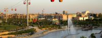
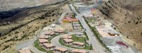
Kalar Amusement Park
It is situated in the center of the town containing several types of rides, a cafeteria and picnic areas are available for the public.
Qulabarz Park
This beautiful site is located 25 km north of Kalar town on the banks of the Sirwan River. What makes the site attractrive to citizens and tourists is its location, the park is surrounded by beautiful trees. Many people visit the site for whilst on holidays and for recreational purposes.
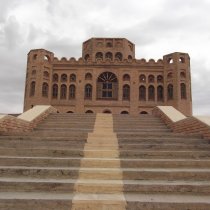
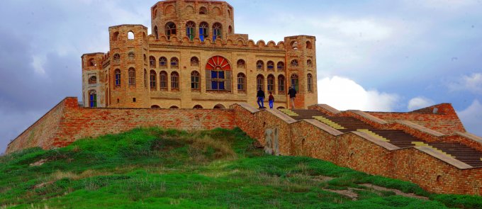
Sherwana Citadel
It is situated at the entrance of Kalar town from the northeast direction and adds beauty to the scenery of the town. Sherwana Citadel was built by Muhammad Pasha Jaff for the purpose of tribe management and also as his own residence. It consists of a basement, 2 floors, an octagonal hall, and a small museum.
Pasha Palace(Mahmud Pasha jaf)
This palace sits in Tazadai village 9 km northeast Kalar town. This two-floor historic site is constructed in a mansion-like design, it was built by Mahmood Pasha Jaff in 1895. Just north of the palace, a rectangular building is seen which was used as a storehouse as well as a horse and mule barn.
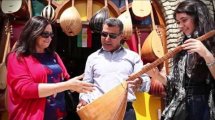
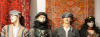
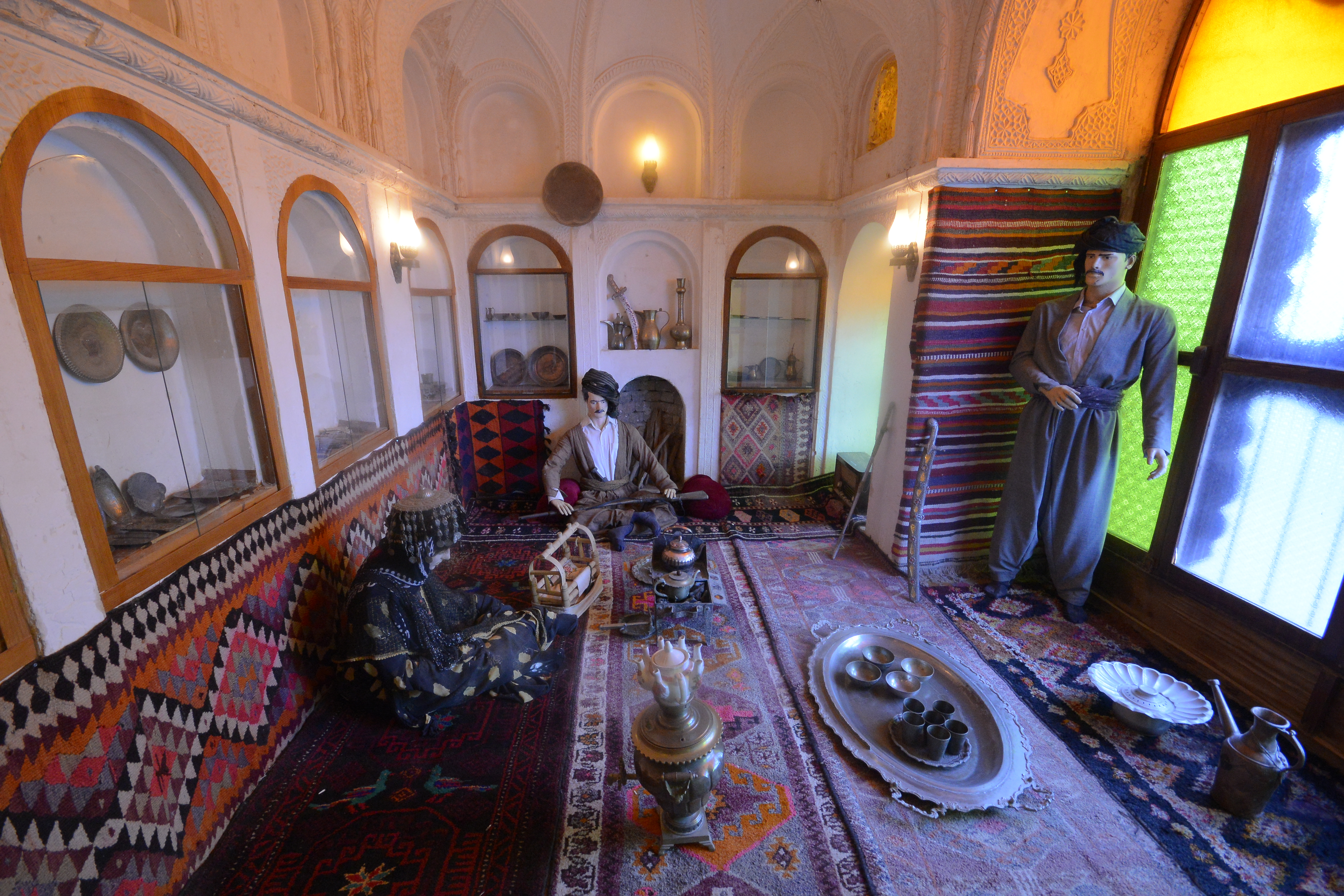
Folkloric Museum of Germiyan
The museum was established in 2003 by the Department of Antiquities in Kalar. This museum contains 400 pieces of artifacts; a collection belonging to Sherwana -castle hill, a number of articles and pieces of folk heritage of men's and women's clothing, agricultural tools, household items, as well as many daily-used tools. It is a great place for those who wish to explore more about Kurdistan's rich history.
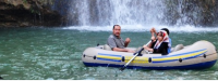
Qoratu
Qoratu is a recreational place, just 25 Km east of Kalar town. It is a truly captivating place known for its beauty and greenery.
Khanaqeen Town
Known as the Bride of Kurdistan, it is located 30 km east of Kalar town. River Alwand irrigates the surrounding trees and orchards, which gives the town as special taste of beauty. Khanaqeen is also a town of coexistence of religions and nationalities.
Khanaqeen Church
This Armenian church is in the center of Khanaqeen Town in Pashakopri quarter. It is still in use. While the Church has been partially destroyed in Iraq-Iran war, Armenians from Khanaqeen still come here for weddings and social events.
Islamic Shrines in Khanaqeen:
-Bawa Mahmood: 6 km from Khanaqeen on Khanaqeen – Kalar high way.
-Ibn Khidhir shrine: 1.5 km East of Khanaqeen.
Shrines in Alyawa village ( 3 km North Khanaqeen):
- Muhammad bin Musa
- Ali bin Musa
- Salkan
- Ja'far bin Musal alKadhim
- Imam Abbas from Musa alKadhim offspring
- Muhammad bin Huthayfa: 500 m south of Khanaqeen.