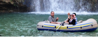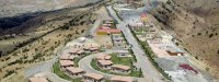
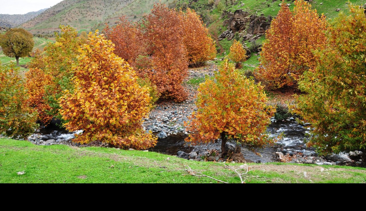
The Kurdistan Region comprises parts of the three governorates of Erbil, Slemani and Duhok. It borders Syria to the West (Rojava), Iran to the East (Rojhalat), and Turkey (Bakur) lying to the North where fertile plains meet the Zagros Mountains. It is traversed by the Sirwan river, the Tigris and its tributaries, and the Great Zab and Little Zab.
Area: 40,643 km² [1]
Population: 3,757,058 [2]
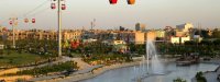
Capital city: Erbil (also known as Hewler)
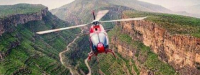
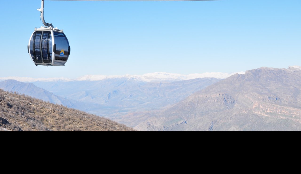
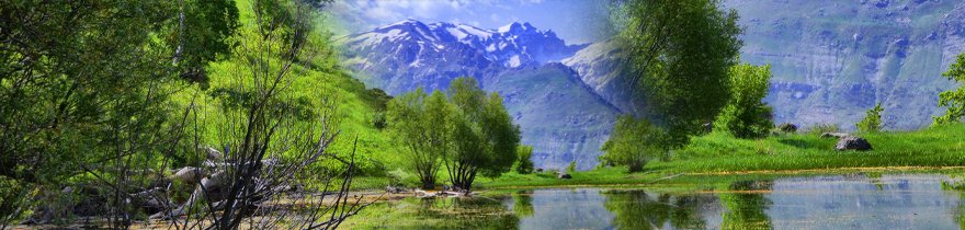
The mountains of the Kurdistan Region have an average height of about 2.400 meters, rising to 3.000–3.300 meters in places. The highest peak, Halgurd, is near the border with Iran and measures 3.660 meters. The highest mountain ridges contain the only forestland in the Region. [3]
Annual rainfall is 375-724mm. [4]
[1] KRG-administered territory only. Compiled by the Food and Agricultural Organisation (FAO) from various national and regional sources: International Boundaries from National Imagery and Mapping Agency (NIMA) Digital Chart of the World (DCW). The primary source for the DCW database is the Operational Navigation Chart series co-produced by the military mapping authorities of Australia, Canada, United Kingdom, and the United States.
[2] According to Oil-for-Food Distribution Plan, approved by the UN, December 2002.
[3] United Nations Environment Programme (UNEP): http://sea.unep-wcmc.org/latenews/Iraq_2003/facts.htm.
[4] Derived from the Global Agro-Ecological Zones Study, Food and Agriculture Organization of the United Nations (FAO), Land and Water Development Division (AGL), with the collaboration of the International Institute for Applied Systems Analysis (IIASA), 2000. Data averaged over a period of 37 years. Raster data-set has been exported as ASCII raster file type.
[5] US Air Force Combat Climatology Center.
[6] US Air Force Combat Climatology Center.
[7] US Air Force Combat Climatology Center.
[8] US Air Force Combat Climatology Center.