Ranya

GPS 36.255816, 44.883399
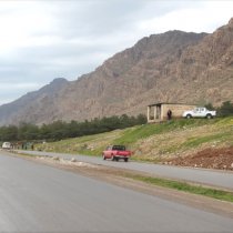
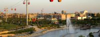
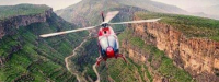
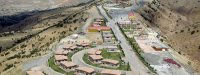
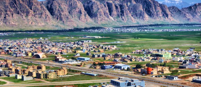
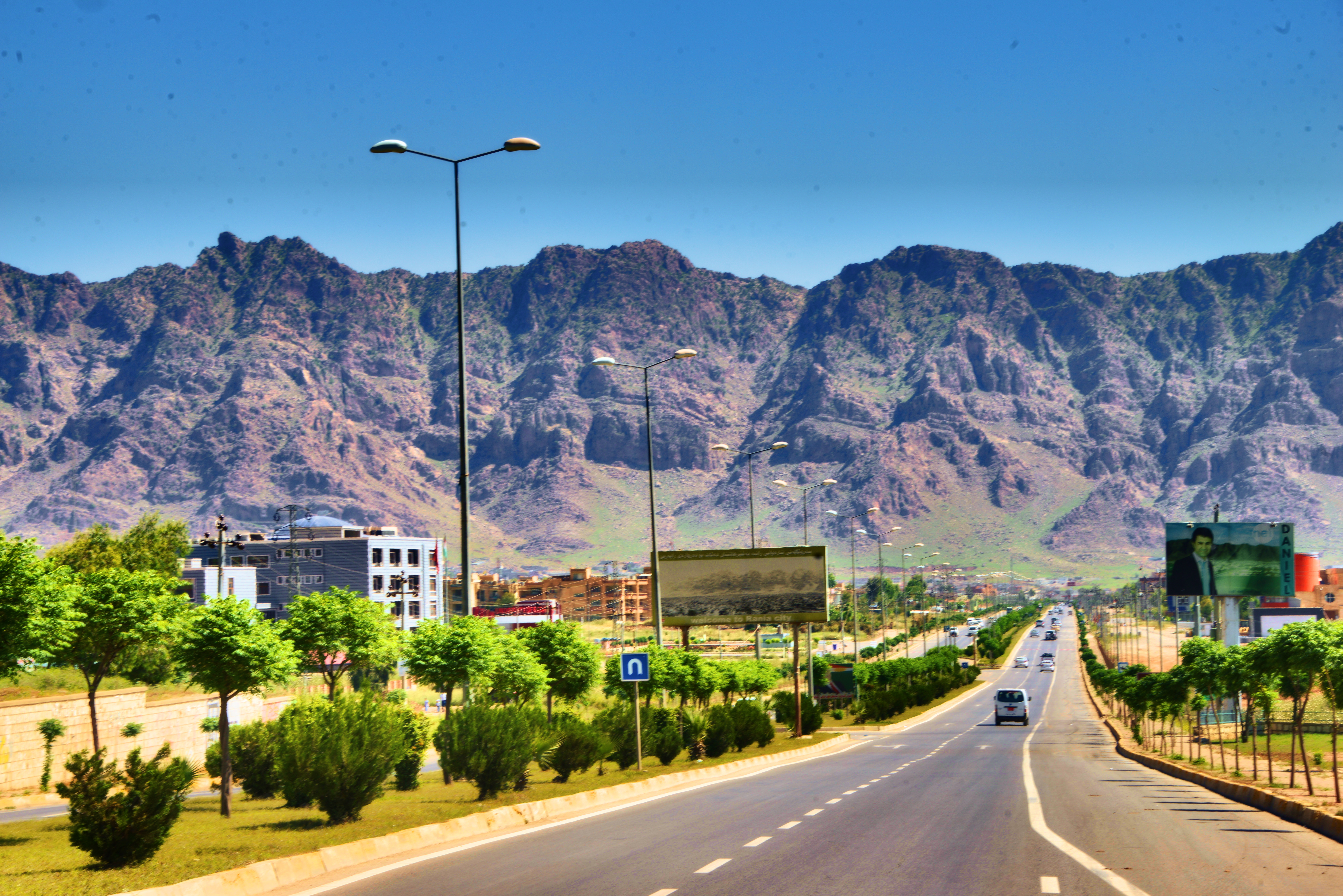
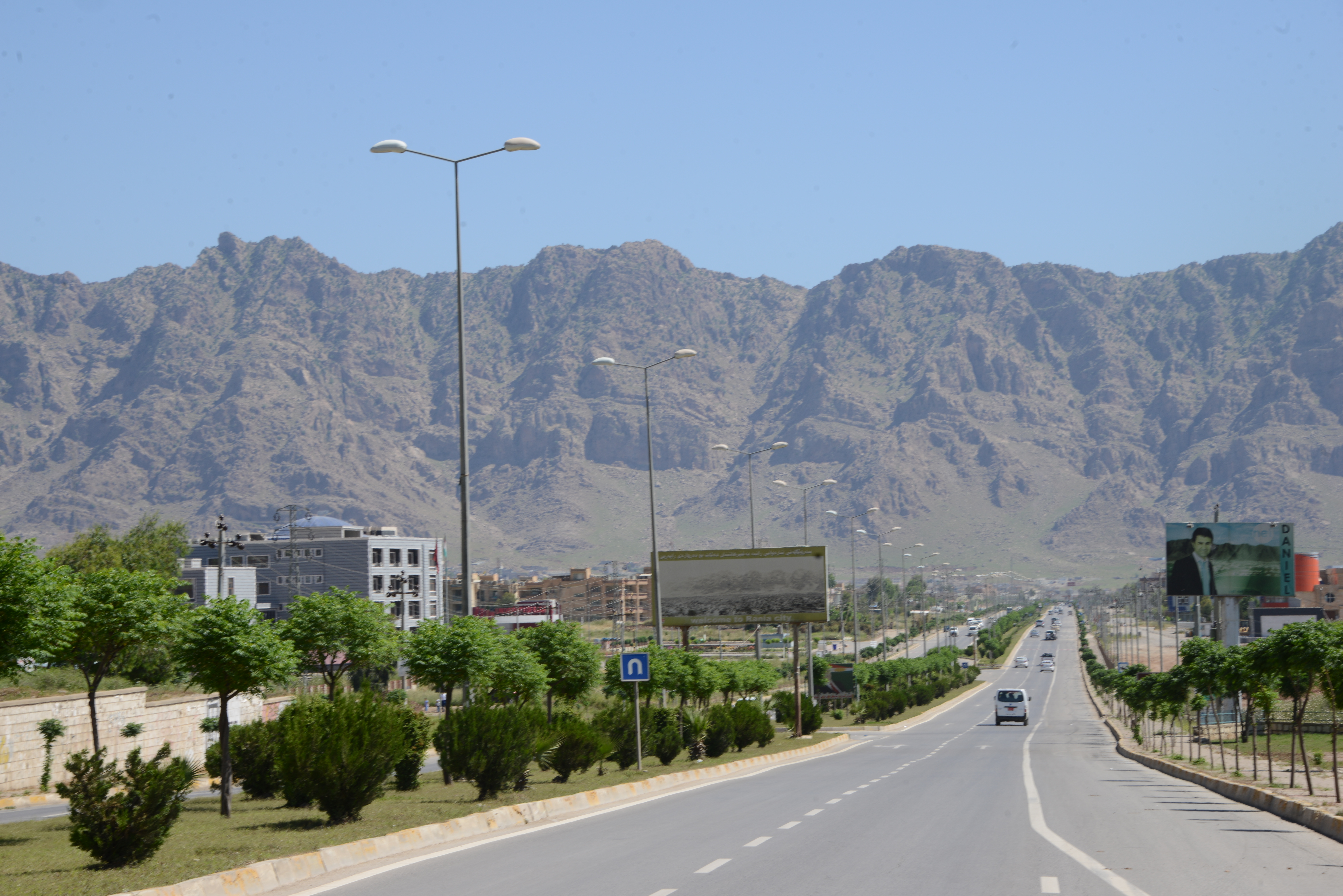
Established in 1789, during the late Ottoman Empire, Ranya is situated in Sulamaniyah province, some 130 km from Sulamaniyah city. A mid-sized town, Ranya is ringed by Kewa Rash, which means Black Mountain in Kurdish. The town contains many popular tourist areas, including Darband, Daristan-i-Ranya, and Ganaw, as well as the villages of Dill-I Shawry, Akoyan, Betwata, Sar-u-Chawa and Zew-I Xoshnawati. These locations all provide stunning views of the local scenery.
Known for its produce and agricultural expertise, the areas surrounding the town are extremely fertile.
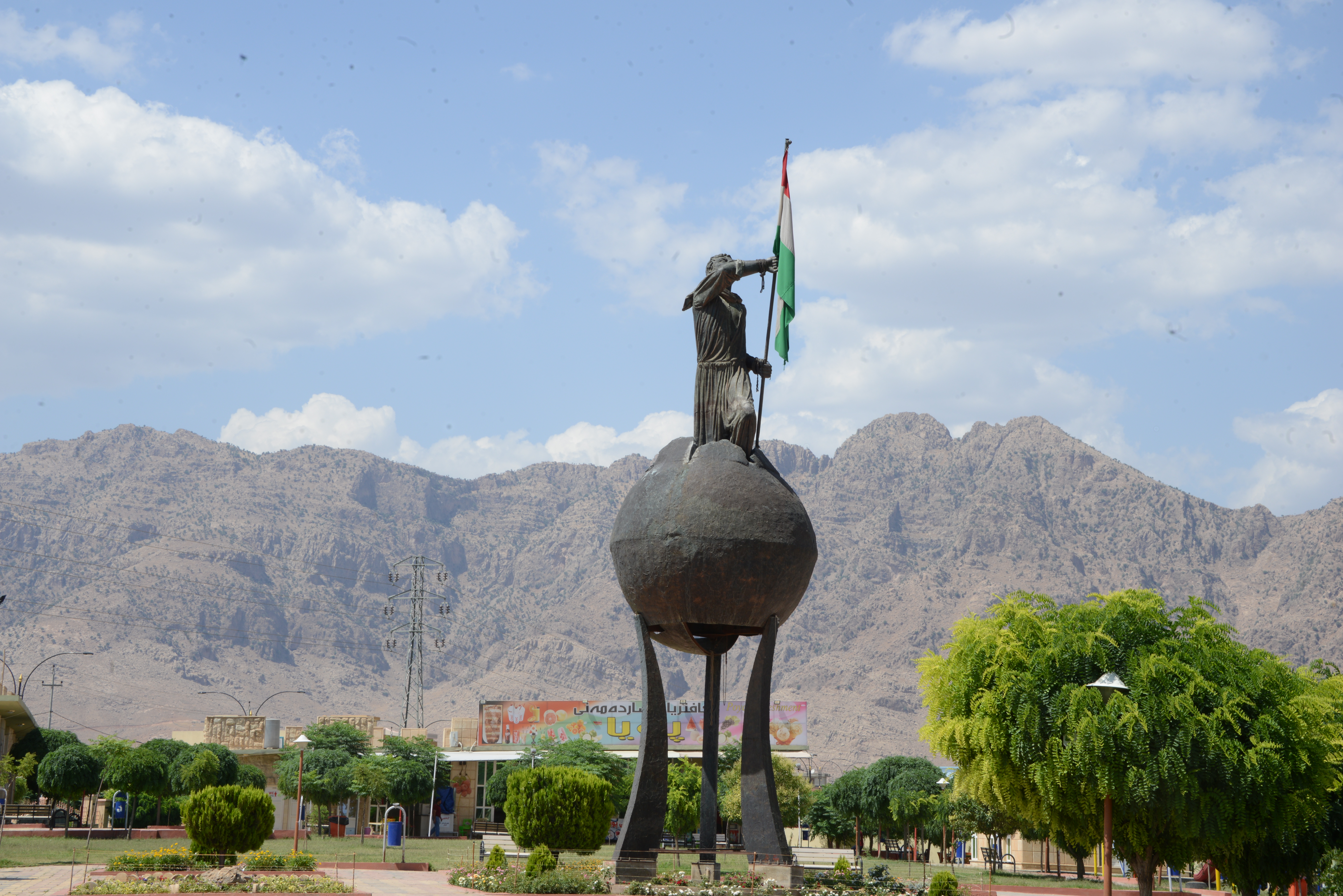
The people of Ranya participated in a number of revolutions against tyrannical Iraqi regimes, most famously in May 1991. The Ranya uprising achieved a great victory for the Kurdish people and many refer to the town as Darwaza-I Raparin, the Gate of the Uprising.
Ranya is known for its produce and agricultural expertise and as such, the surrounding areas of Ranya are extremely fruitful.
The people of the Ranya participated in a number of revolutions against the tyrant Iraqi regimes; the most famous uprising was that of 1991: on 05-03-1991. The uprising of Ranya achieved a great victory for the Kurdish people; many refer to the town as Darwâza-I Râparin, ‘The gate of uprising’,
Dâristan-i Ranya
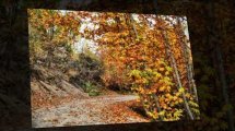
Daristan-i Ranya, meaning the forest of Ranya, is just 1 km east of the town center. The forest covers around 600 acres and lies on the main Ranya-Qala Dez road, which is lined by the Kewa Rash, or Black Mountain, chain. The forest and its surrounding greenbelt are perfect for picnics and sightseeing.
Qure Goyee
This water spring lies 5 km east of Ranya, on the main road to Qala Dez Ranya. Locals believe the spring has medicinal properties that can help to treat some skin conditions.
Benari Hâjila
Benari Hajila, meaning the mountain of Hajila, is a tourist area in the Hajilah mountain chain, between Ranya and Chwar Qurna. People visit the area for its fresh water and clean air.
Betwâta (Sar-Ashkawtân)
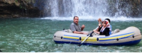
Located 20 km from Ranya town center, Betwata’s remarkable geography includes springs and waterfalls, gardens and abundant farmland.
Darband-i Ranya
Darband-i Ranya, meaning the Strait of Ranya in Kurdish, is an attractive area located 6 km east of Ranya. The Zé-i Bechuk, or Small River, and Darband’s bridge offer a vantage point for some spectacular views.
Doll-i Akoyan and Shawra
Doll-i Akoyan (meaning the valley of Akoyan) and Shawra are located 19 km west of Ranya in a mountainous area characterized by its greenery and scenic views.
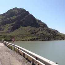
Shamshara
Shamshara is located 7 km south east of Ranya. Its history goes back 4,000 years to the Assyrian empire, when it was the capital of the region around Ranya and Pishdar. A team of Danish archaeologists excavated the area in 1957.
Gird-i Dieme
Gird-i Dieme, meaning the hills of Dieme, is adjacent to Ranya, near the Qalat or Citadel quarter. A Danish-led excavation in 1957 discovered many historical documents and a temple relating to the Warka, Houry and Assyrian eras.
Mezari Gor u Gulzer
Mezari Gor u Gulzer (Kurdish: Shrine of Gor u Gulzer) is a cemetery and lies just 15 km west of Ranya, near the village of Kishan in the valley of Akoyan. The Shrine contains the graves of lover Gor and his mistress Gulzer, lying beside one another. This ancient love story goes back 400 years ago.
Takht-i Khorshid-I Khawer Zamin
Takht-i Khorshid-I Khawer Zamin (Kurdish: Residence of Khorshid) is a tourist area and is located near the town of Betwata, just 20 km west of Ranya. The construction of this monument goes back 2000 years.