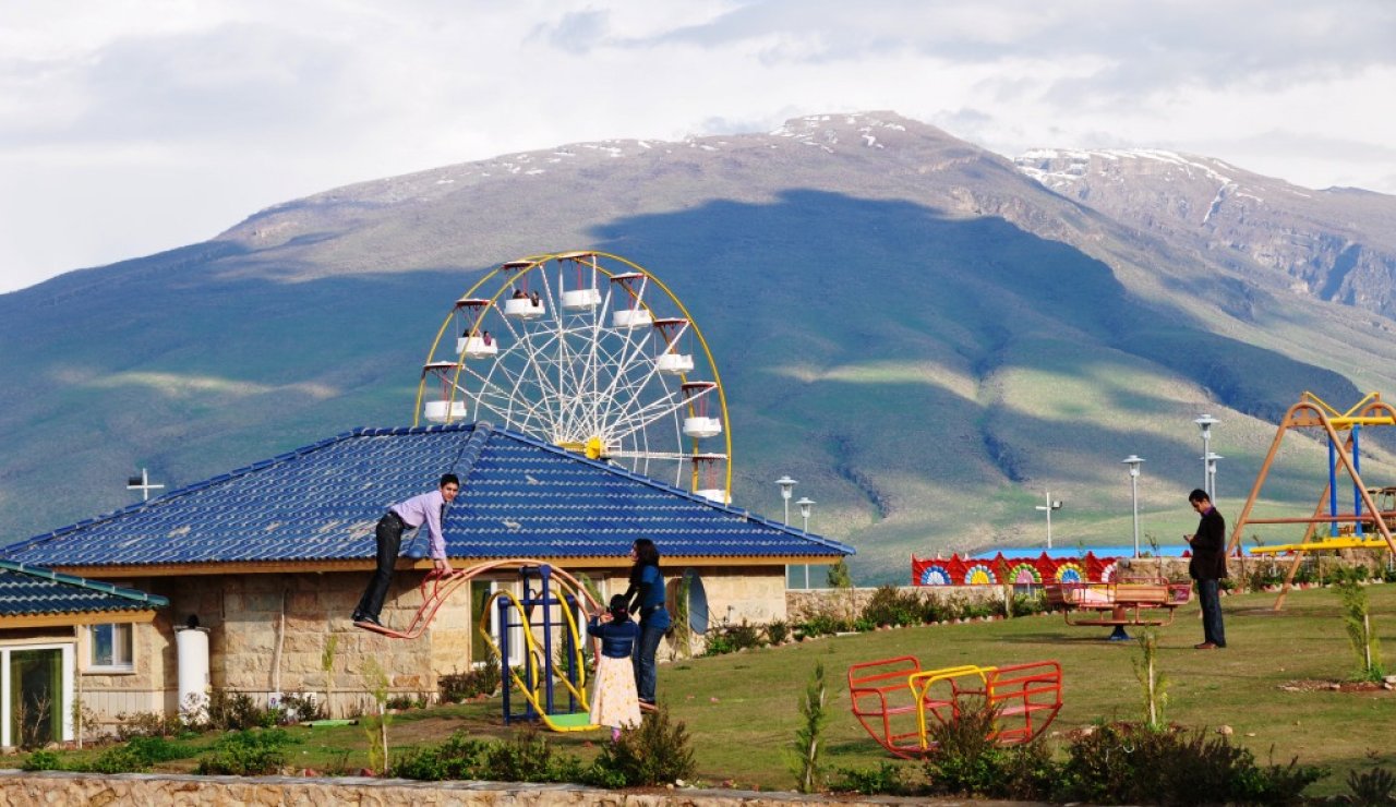
Visiting Kurdistan for the first time you will notice that its most prominent geophysical feature is mountains. There is a saying among Kurds: ‘no friends but the mountains’ referring to oppressing states/neighbors and dictators surrounding the region.
The mountains are very important to Kurds. They have not only shaped the history, people, tradition and culture; they have also been used more practically as hide outs for Kurdish Peshmerga’s and guerrillas fighting oppressing regimes.
The area is composed primarily of the central and northern Zagros, the eastern two-thirds of the Taurus and Pontus, and the northern half of the Amanus Mountains. The two large, detached Kurdish enclaves are in the Rivand heights of the eastern section of the Alburz Mountains of northeastern Iran, in the province of Khurasân, and in the central Pontian mountains in central and north-central Anatolia. [1]
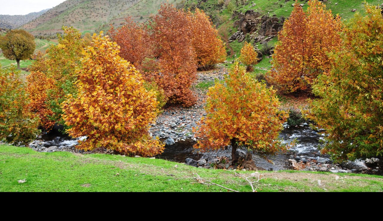
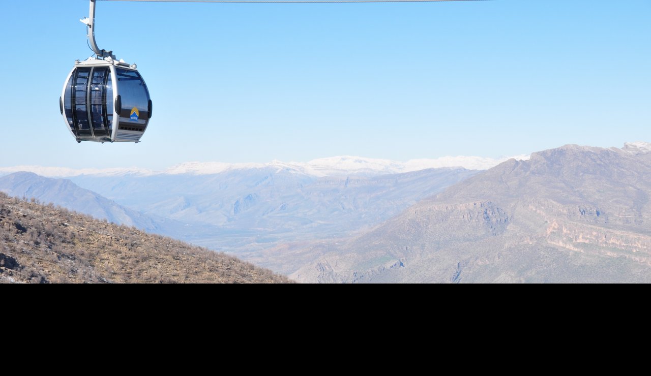
Kurdish domains end abruptly where the plains begin. Northern Kurdistan has the highest average elevation. Central Kurdistan, on the other hand, has the lowest average elevation, with the warmest, often balmy, climate in all of Kurdistan. The other sections of the land range between these two extremes. The Kurdish mountains form a rampart to the Iranian and Anatolian Plateaus to the east and west, respectively, separating them from the flat plains of Arabia to the south and southwest, and the Black Sea basin to the north. The central massif runs the entire length of Kurdistan from one end to the other like a mighty spinal column. [1]
[1] Land & Environment – Terrain by Prof. M.R. Izady