Darbandikhan


GPS Coordinates: N:35.112011 E:45.685272
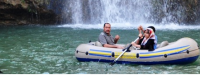
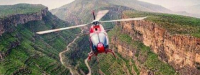
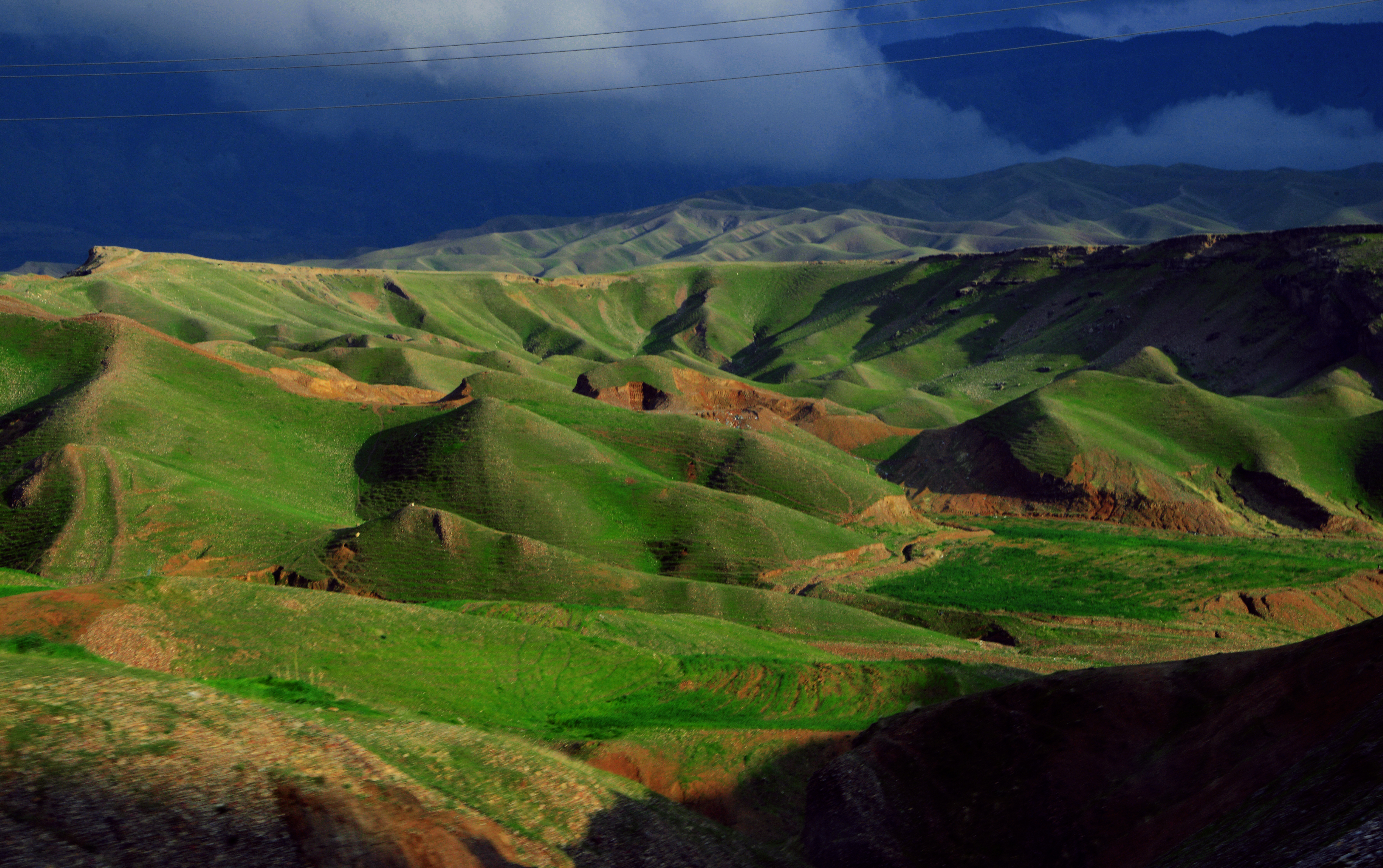
Darbandikhan is an area recognised for tourism, beauty and wildlife. Darbandikhan’s main feature is the large freshwater reservoir generated by the Darbandikhan Dam; two historical rivers feed the dam, the Tanjero in the north and the Sirwan in the east. The lake serves as a popular site for recreational uses such as picnics as well as serving as a significant habitat for the surrounding local wildlife.
Indeed Dardbandikhan is a special ecological zone containing numerous distinct species that are vital to the ecosystem of the region. The area as a whole provisions a substantial quantity of bird life, to date there is fifty-six distinct bird species. Mammals, shrubbery, reptiles, and other fauna are also present; the lake boasts twenty-six species of fish and a hundred and twenty five distinct species of plants.
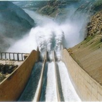
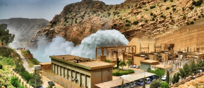
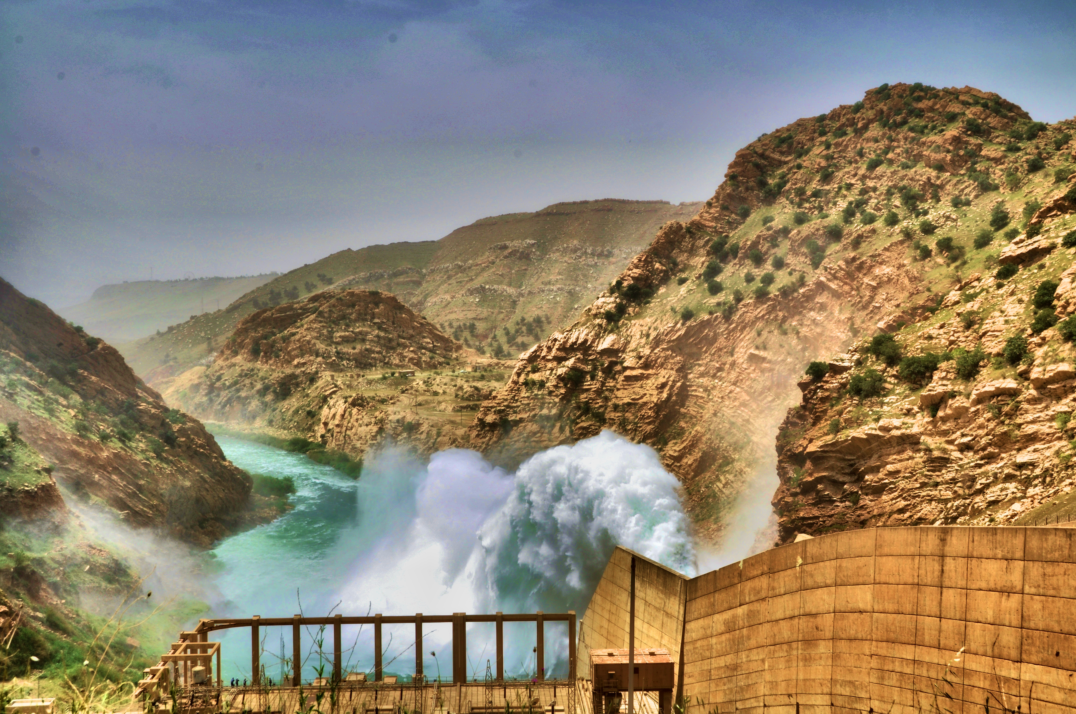
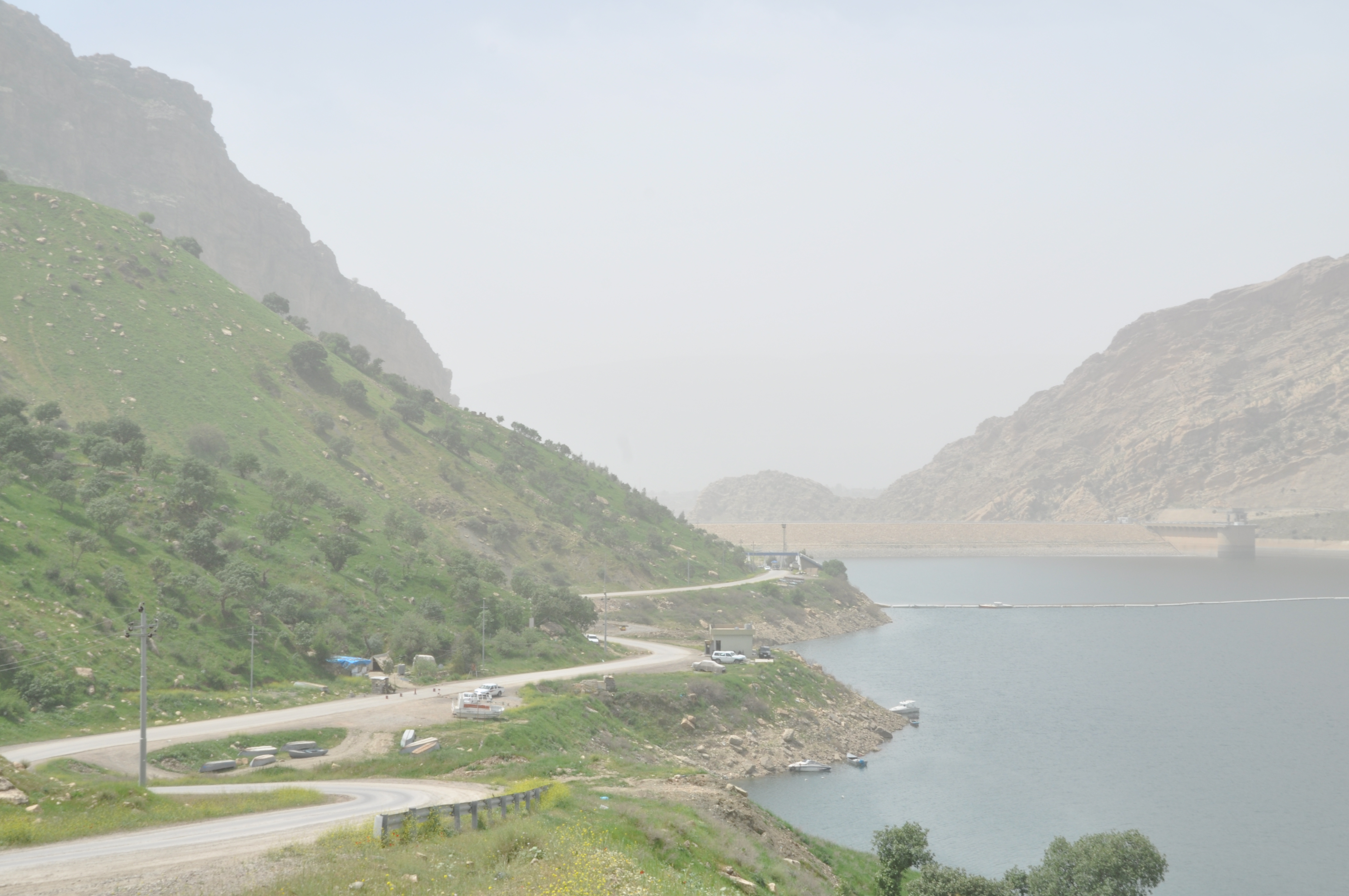
Darbandikhan Dam
(Bandawie Darbandixan) is a multi-purpose embankment dam on the Diyala -Sirwan River. It was constructed between 1956 and 1961. The purpose of the dam is irrigation, flood control, hydroelectric power production and recreation.
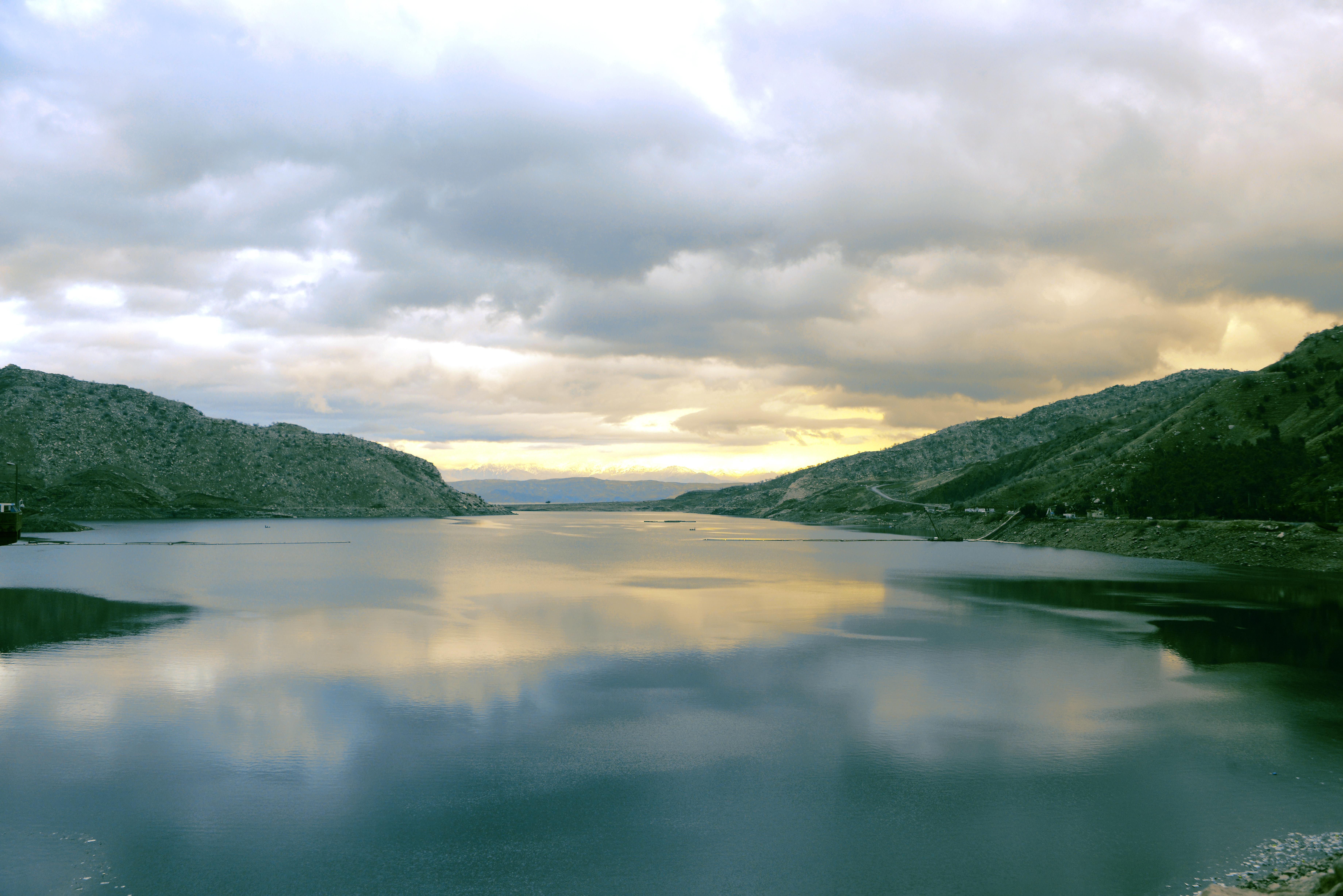
Darbandikhan Lake
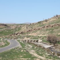
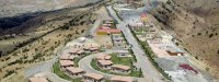
Darbandikhan Lake is 60 km southeast of Sleimani City. The lakeshore and riverside areas are a stunning natural site. Many people come from the south of Iraq to enjoy the scenery and the fresh air. Tourist facilities are also built in the area for tourist services.
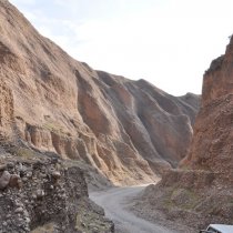
Tuni Baba
A long and winding path carved into the rock by wind and sea long ago, this natural wonder is worth a visit. It is just south of the town of Darbandikhan. It is said that ancient nomadic civilizations used this path on their migrations. This small and lengthy valley contains water resources. In the area you can also spot ruins of ancient civilizations.
Sartaki Bamo
Sartak is a natural area on the foot of a mountain called Bamo 15 km east of the town of Darbandikhan. In the summer, the area is known for its cool atmosphere and attracts many visitors; many enjoy their time soaking in the natural beauty. On the top of the mountain, visitors can find ruins of an ancient town called Yazdan Kurd.
Gawar relief
Gawar strait relief is situated 45 km to the south of Sleimani city within the Goshan valley in the area. The sculptures are around (4000) years old; the site also embraces the statue of the Akkadian King Naramsin.
Darband Belola Ruins
Located in the Midan district, a map, discovered by Sir Henry Rolenson in 1836, is engraved on the stones of Darband Belola. The map is thought to date back to 32 BC, although some argue that it is even older. It includes a drawing of three people: one warrior and two captives. The warrior is shown holing a bow in his left hand, a spear in his right hand, and an axe hangs from his belt. The drawings are thought to date back to Loloyans, who ruled during the third millennium BC.
Konba Cave
Konba Cave is located 8 km west of Darbandikhan city in the Gulan Mountains. The cave features a unique ventilation system that keeps in cool in summer and warm in winter.