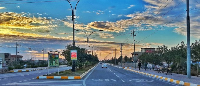
Kifri
GPS Coordinates:34.684709, 44.968371
Bawashaswar Manmade Caves
These rectangular-shaped caves were made in the early centuries AD and are located north and northeast of the town of Kifri. You can also explore the Bawashaswar’s stony hills, the site of many historical graves.
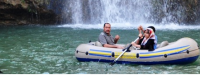
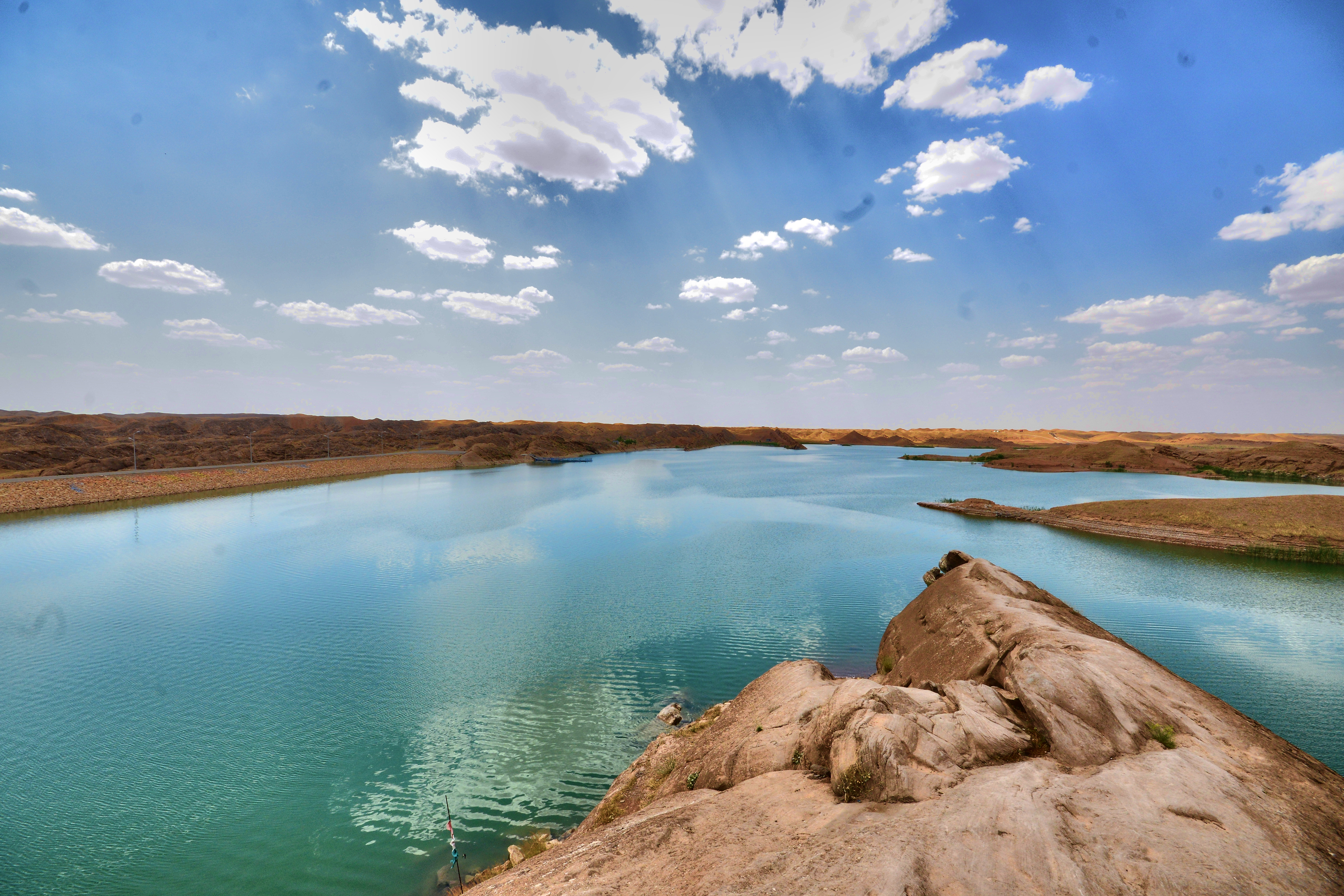
Bawa Shaswar Dam
The historical Bawa Shaswar dam lies only 3 km north of Kifri. It is a popular place for tourists who come to swim, relax and picnic. It is also a perfect place to get in touch with local people.
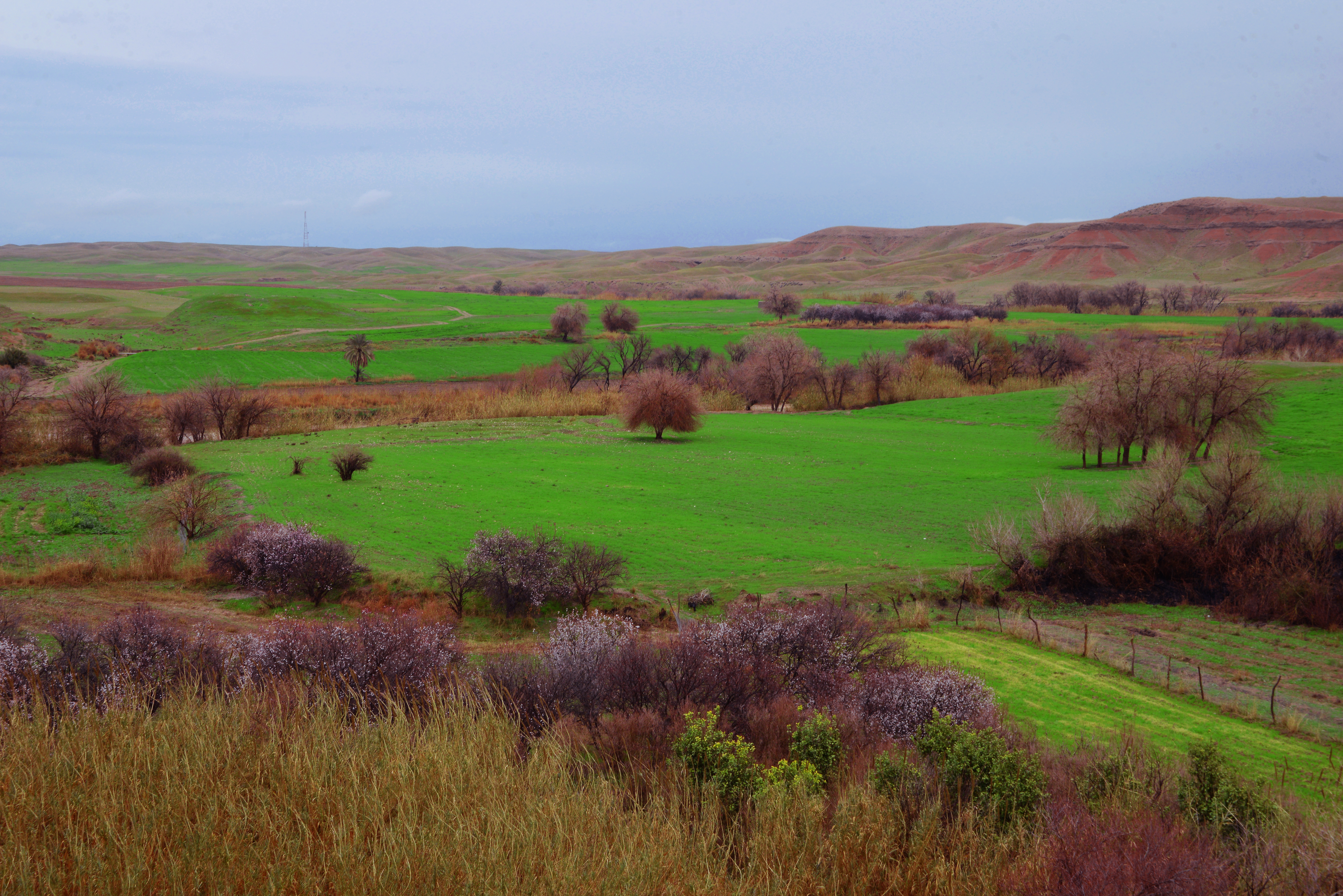
Fattah Omar
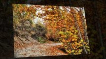
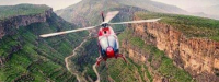
Located 19 km northeast of Kifri city, Fattah Omar is one of the most popular tourist attractions in the area. Tourists come to Fattah Omar in spring and summer to picnic among its many springs, orchards and trees.
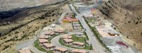
Kifri Park
Located northwest of Kifri city, Kifri park’s playgrounds and terraces make for perfect family attractions during Eid and other holidays.
Quldar Mill of Kifri
The mill is situated north of the Bawashaswar cemetery. The mill consists of a tower with two rooms; one is used for grinding wheat, and the other is used for storage.
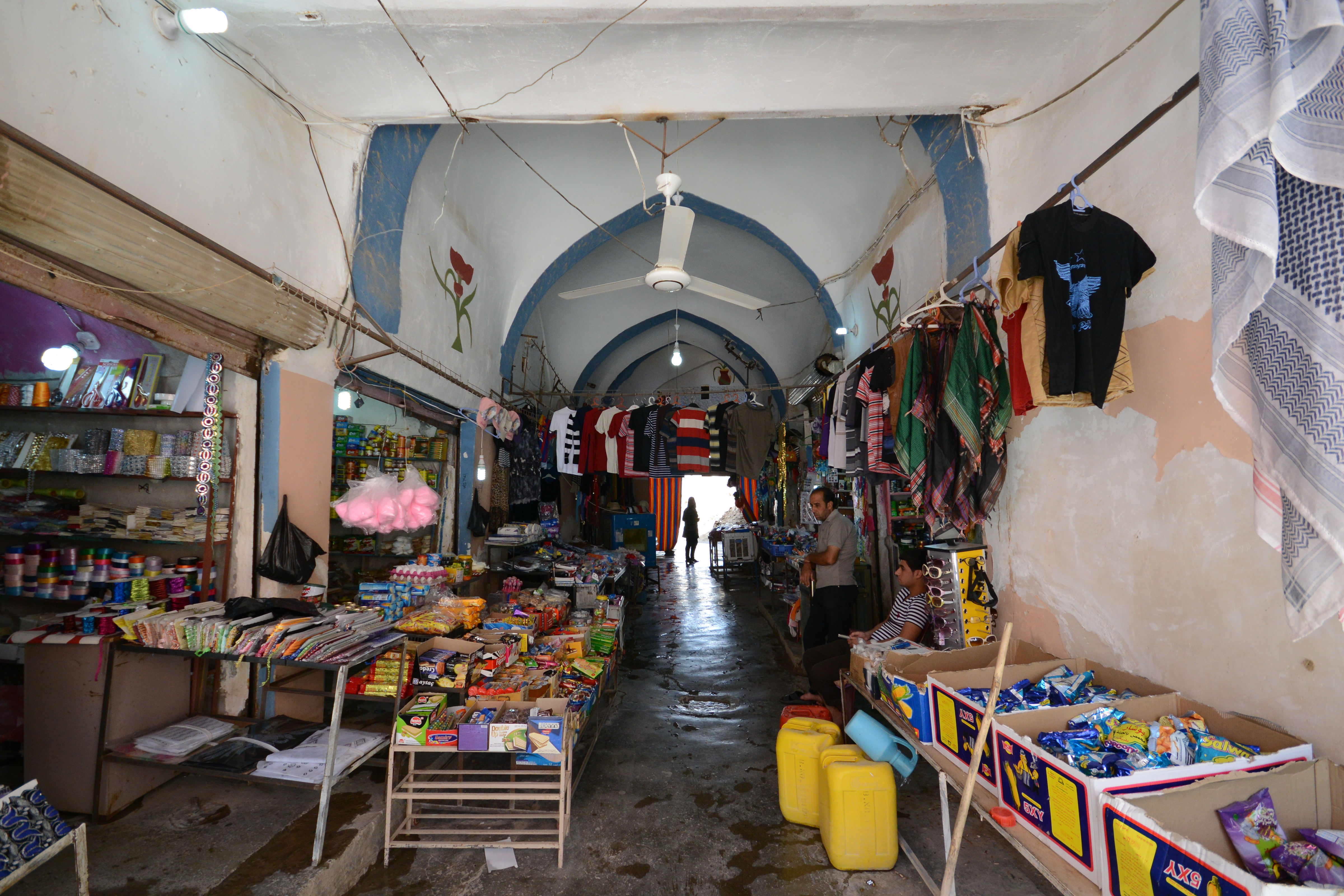
Kifri Qaysari
Qaysari is the Kurdish word for ‘market.’ The Kifri Qaysari was built in the 19th century and contains many shops and warehouses (Khan), such as Coal Khan and Wheat Khan, known as Mala Abbas Khan. Recently renovated, the market has kept its original features.