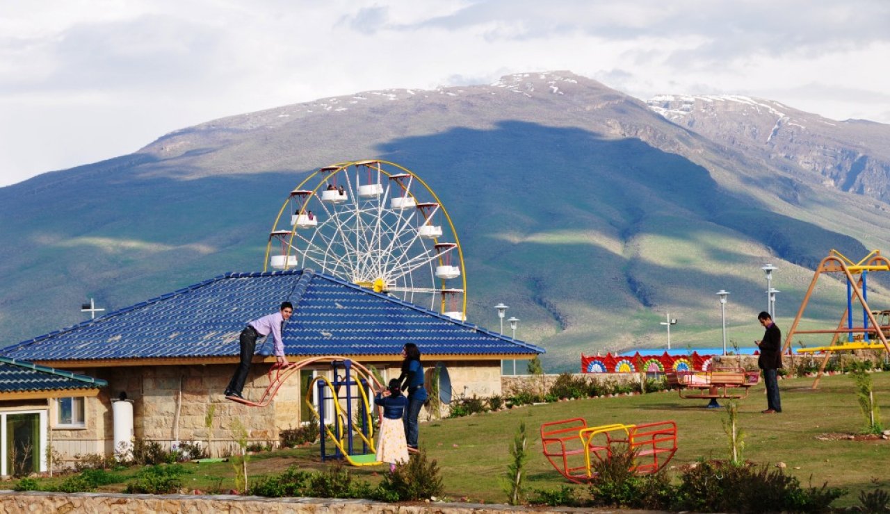
Kurdistan has large number of historical sites that have witnessed human settlement and developed different types of architectural heritages. Among these are Erbil, Mashad, Diyarbakir and Urfa.
In the present the Kurds are one of the major ethnical cultural groups of North Iraq or Kurdistan Region. During the whole 20th century, this region hadn’t experienced any effort to develop studies about the local Kurdish
traditional architecture and how to develop modern local architecture. The schools of architecture and official development plans were all influenced by or based on the Iraqi architectural style, which was developed by the new young architects in Baghdad. As a consequence Kurdistan has lost the opportunity to develop the required knowledge about the local Kurdish architectural heritage and how to bring this heritage into the development projects in Kurdistan.
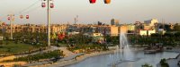
Kurdish traditional architecture can be classified into three basic categories according to their location, towns (shar), village (gund), and nomadic. Citadel of Erbil (Arbil) is a good example of this old and unique architectural heritage in Kurdistan. Erbil (ancient Arbela) is located in southern Kurdistan, about 360 kilometres north of Baghdad. It is one of the oldest urban sites in the world continuously settled for some 7000 years and has been witness to the rise and fall of major ancient and Islamic cultures.
An important stage of Erbil’s’ history was in the 12th century when it became part of the Ayyubids Empire which was a Kurdish empire that dominated the Middle East and Egypt for two centuries. Old descriptions of the city done by Yaqut al-Hamawi describes the city during the 12th century as a strong and large city built on the top of a hill and containing houses, markets, and mosques.
Another settlement was built down in the valley beside the hill. The settlement on the hill was divided into three residential areas, Saray at the east, Top Khanah at the south, and Takiyyah at the north. The rich people settled around the edge of the city forming a ring. This position was popular because it provided views towards the surrounding valley and better ventilation possibilities. The middle and poor social class quarters were located in the interior of this settlement. The streets were narrow, about 0.7-3 meters and irregular. The main streets were branched out from one major gate at the south. These streets again branched out to smaller streets and dead-end streets forming a tree form. Today the city forms a vast complex of buildings and narrow streets enclosed by town walls. All houses are in 1 or two floors. The houses can be classified into small, medium and few large houses of rich families.
The old commercial area (bazaar) located outside the residential Citadel area. It contains a covered area like arcades, called qaysari. The qaysari was introduced to the city by the Ottomans from Turkey and composes 2-3 meters wide, irregular, and straight streets. Along the streets, small shops are built on the ground floor with storage on the upper floor. The streets are covered by arcades to prevent rain in winter, hinder sun light and reduce the temperature in summer. The shops are small, often 2 meters wide and 2 to 3 meters deep. The ground level of the shops was 0.5 meter higher than the streets and extended 0.5 meter into the street space forming a bench called setchu. The shopkeepers sat on this bench along the street. Most of these benches have been gradually removed in the last decades but the space street space is still used for sitting and displaying goods.