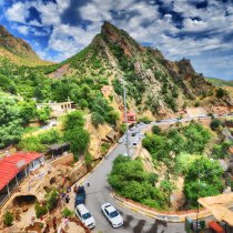
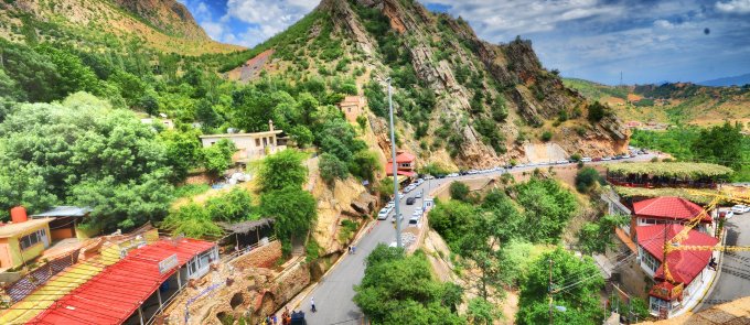
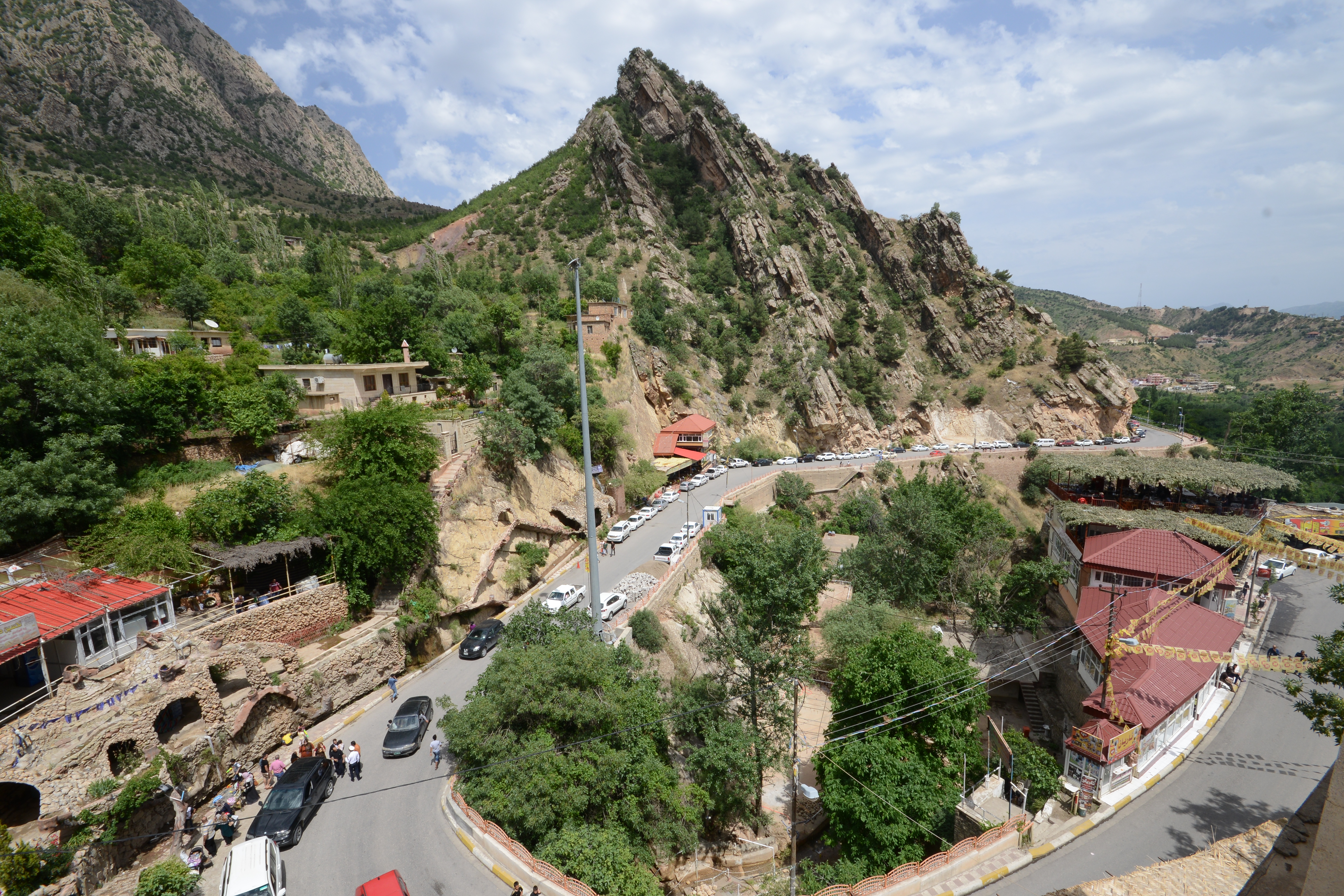
Amedi


GPS Coordinates: 37.092122, 43.487052
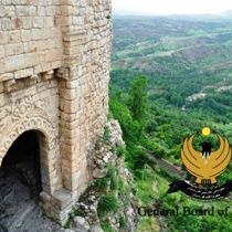
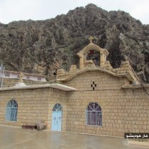
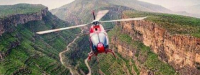
Amedi is a small, beautiful town built on a mountain plateau. It is situation 90 km northeast of Duhok, about one and half hours by car. The citadel was built was built over 1,000 years ago and is still home to 5,000 inhabitants. Many of the houses still have their original stonework and are arranged in circular form inside the citadel. The town has many historic sites, including the Old Mosque that is still used by residents, and the Old Gate that was used until a new car-friendly road was built in the town.
Amedi Citadel
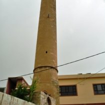
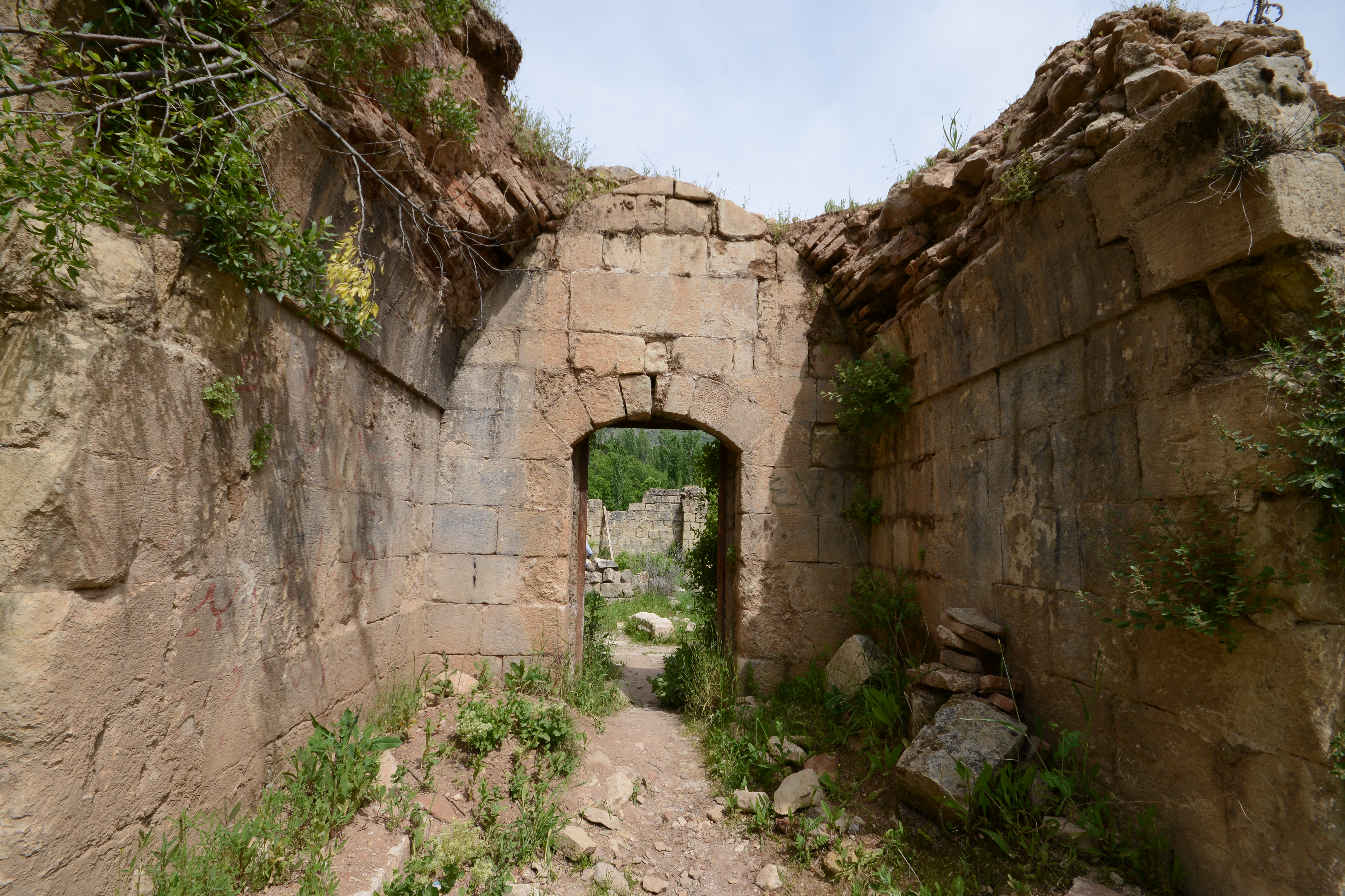
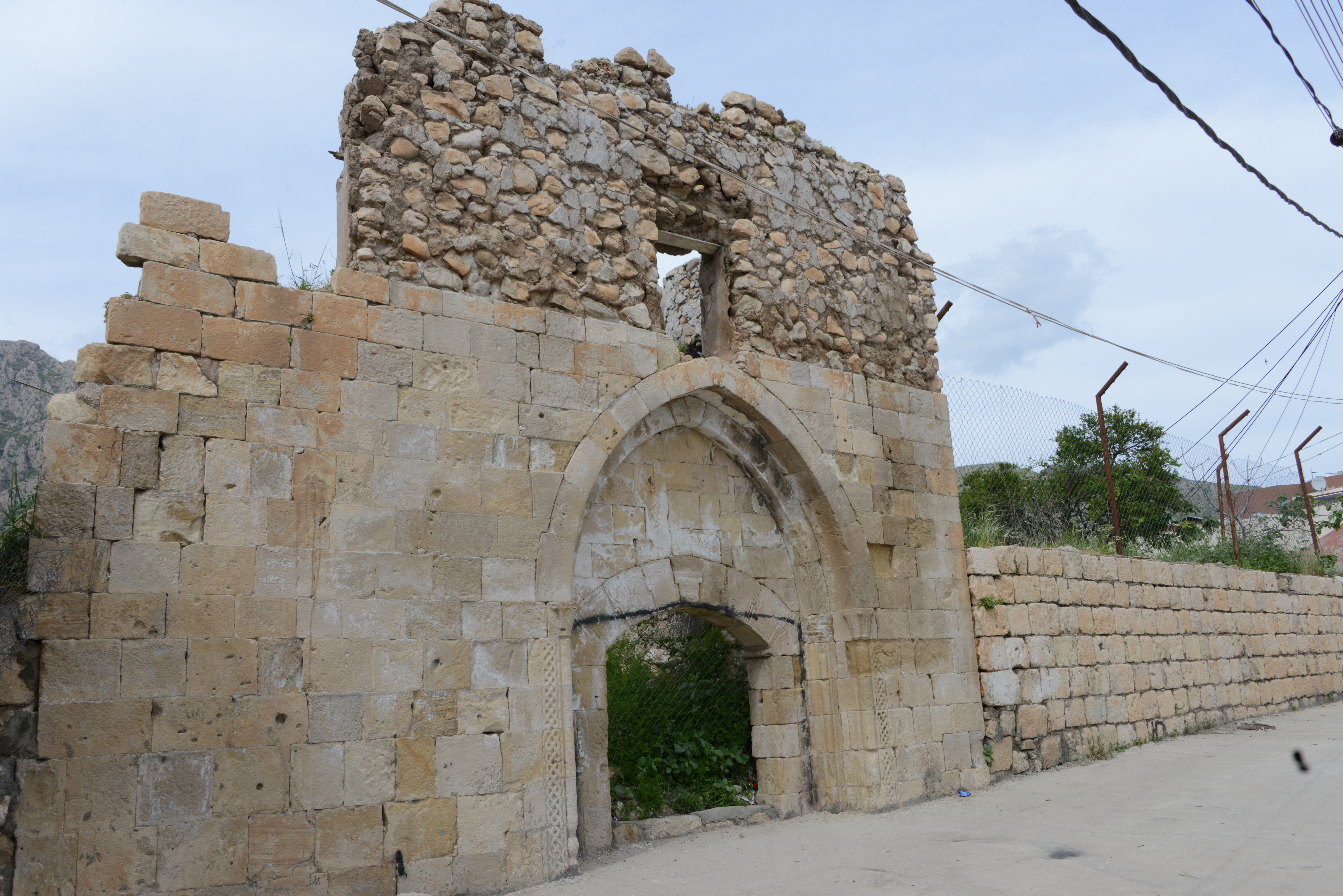
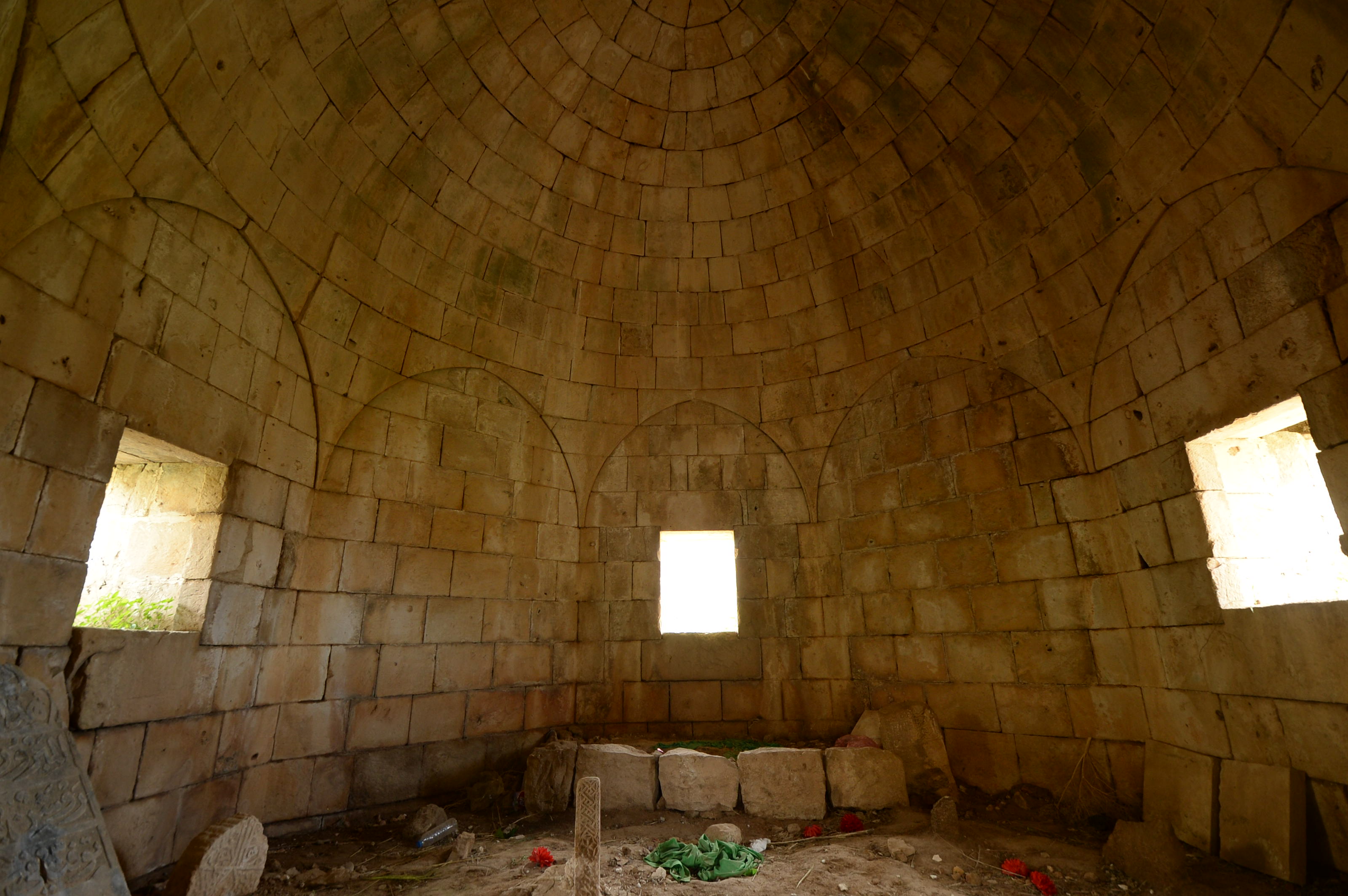
Amedi is home to several historic sites. The Old Gate lies to the west of the Citadel and the Old Mosque is at the center of the town. The Minaret, the Dome and the Zoroastrain Gate are also worth a visit. For centuries, Amedi was the capital of the Badinan Emirate, until the end of the Ottoman Empire, and the tombs of some Emirs are still located inside the town.
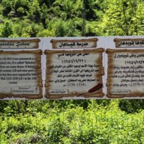
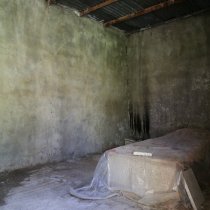
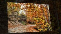
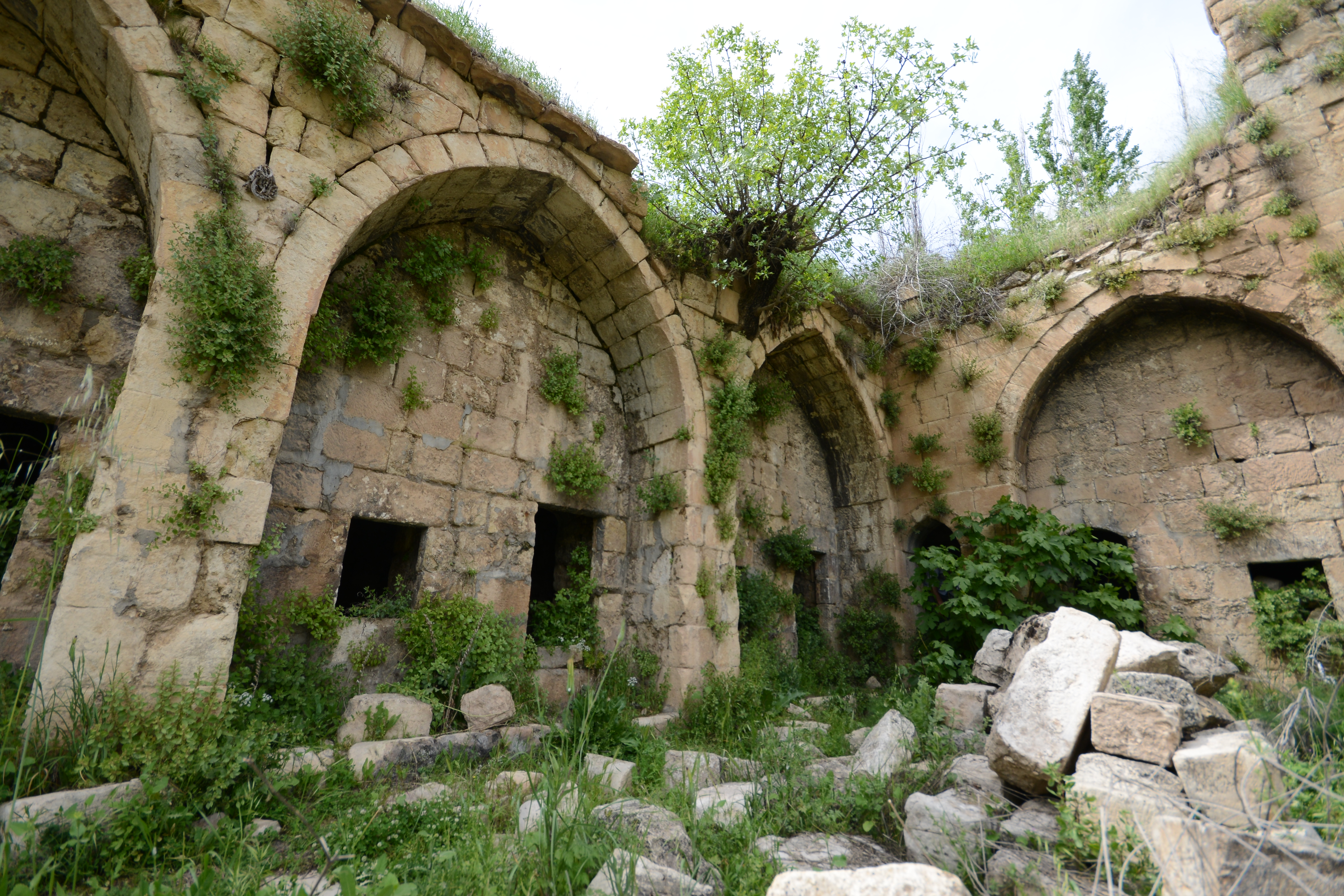
Qubhan School
The Qubhan School was one of the first Islamic schools in the Kurdistan Region. The school’s ruins are situated northeast of the town, amid a tree-filled garden. The school was built in the 17th century for the study of Islamic Sciences. Many Imams and Sheikhs have studied at this school and it was open for several hundred years.
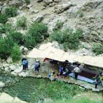
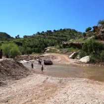
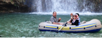
Sulav Waterfall
The well-known waterfall lies 3 km north of Amedi. Ice-cold water flows down from the mountain, into a tree-lined valley, making it a perfect place to visit in the warmer seasons.
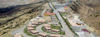
Bere Sili Park
The park is located east of Amedi and in fall, residents of Amedi and surrounding villages gather here to celebrate Harvest festival. The park is being developed into a resort and picnic area and is an attractive site for all the family.